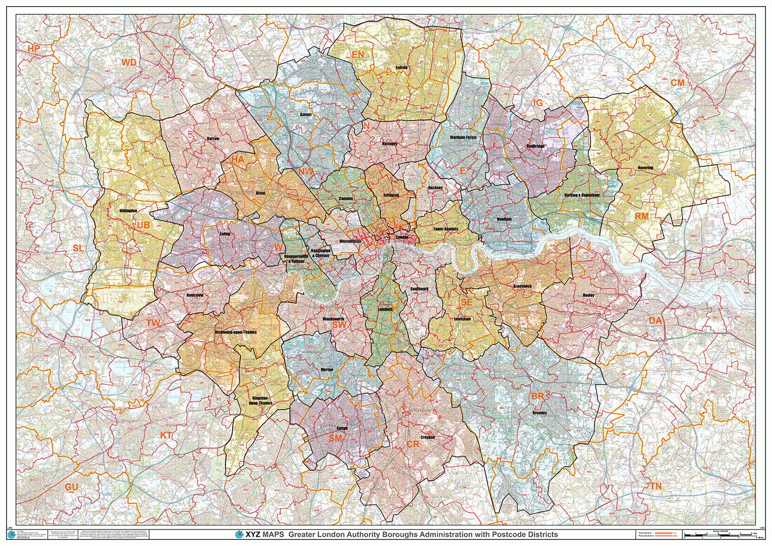
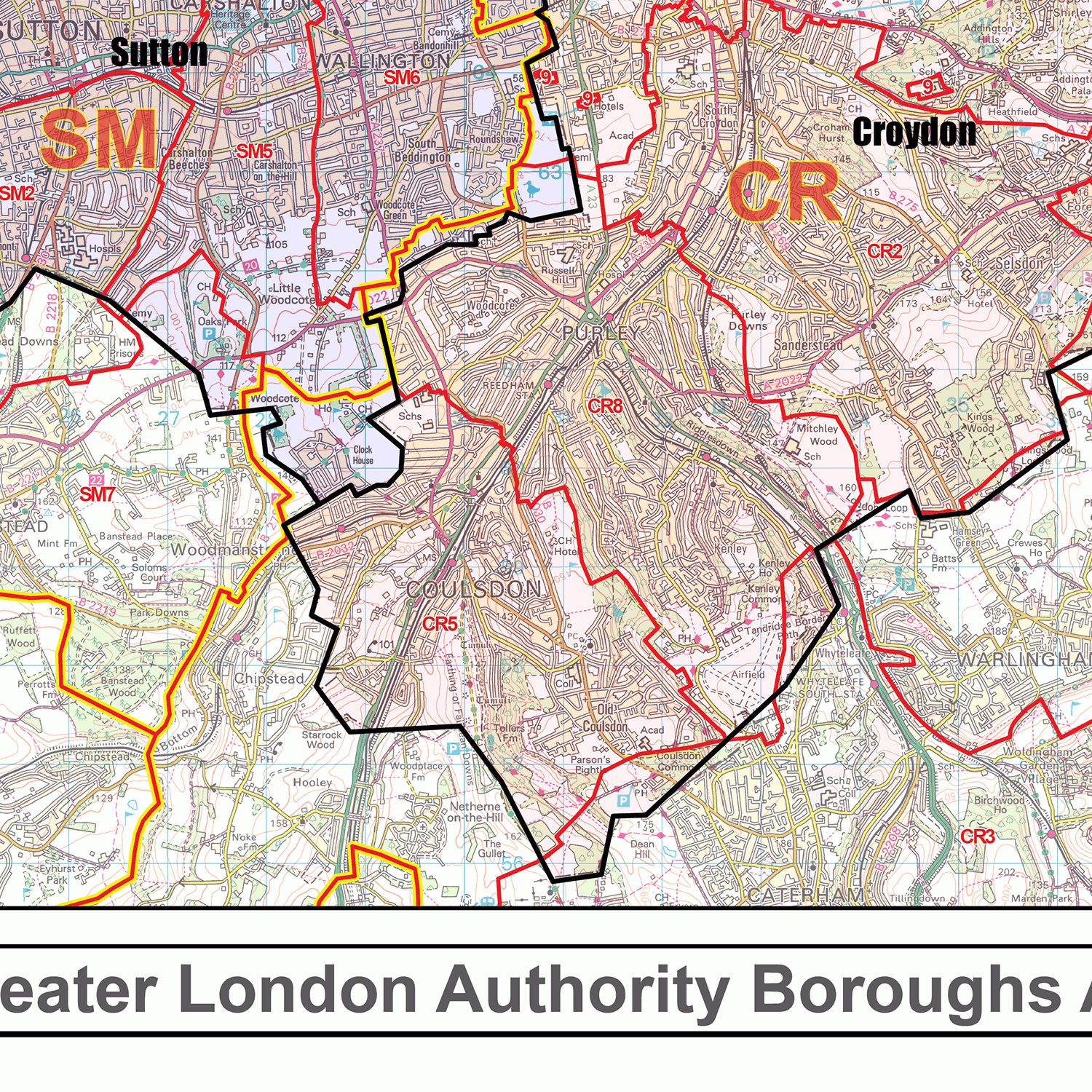
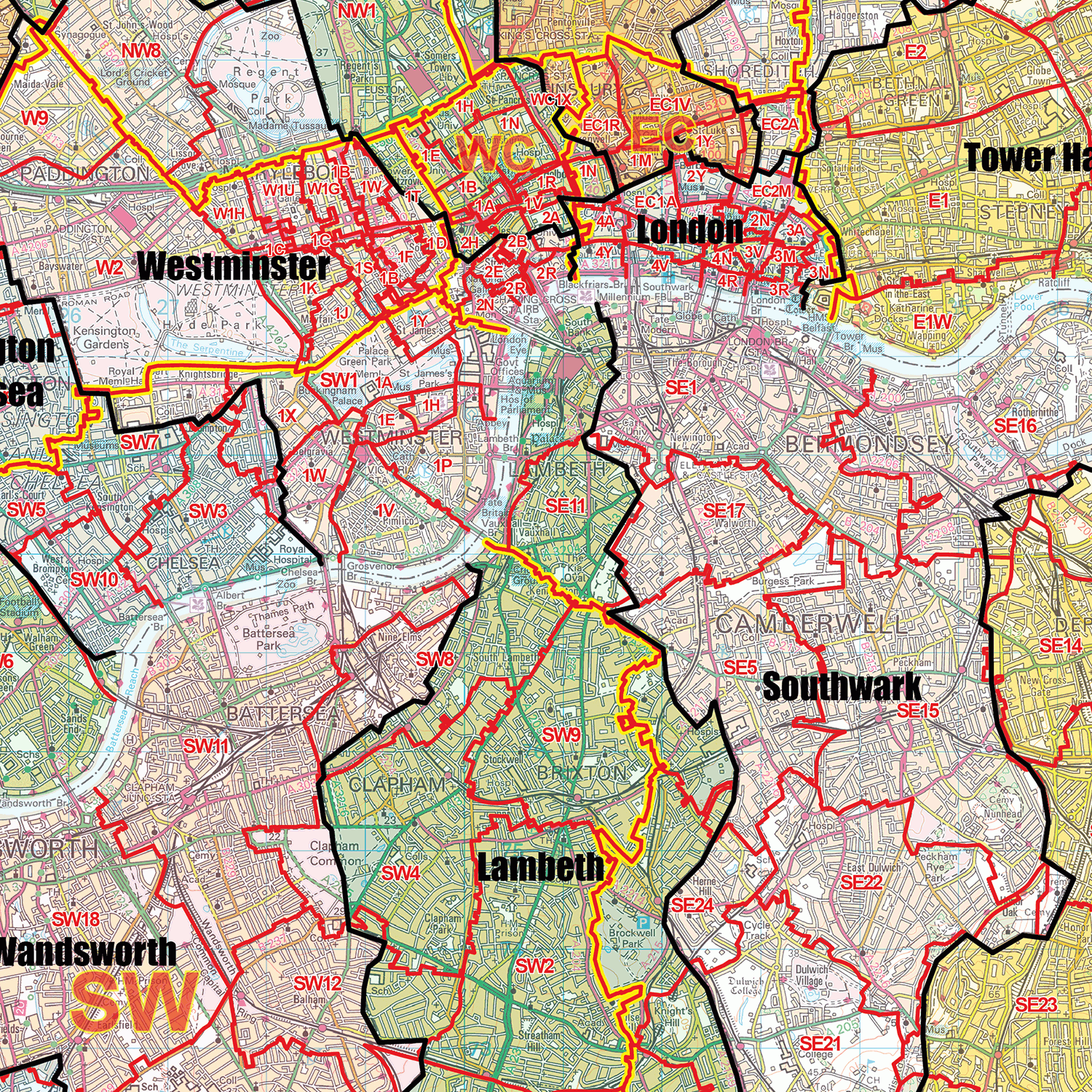
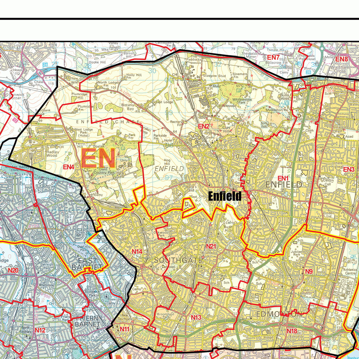
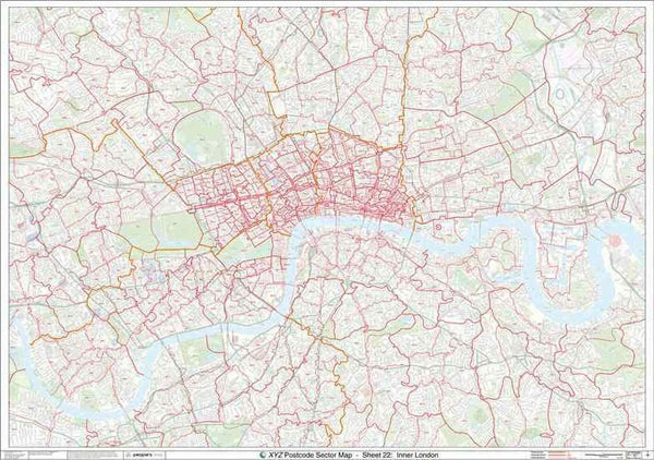
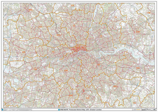
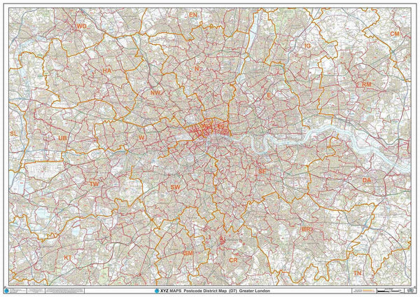
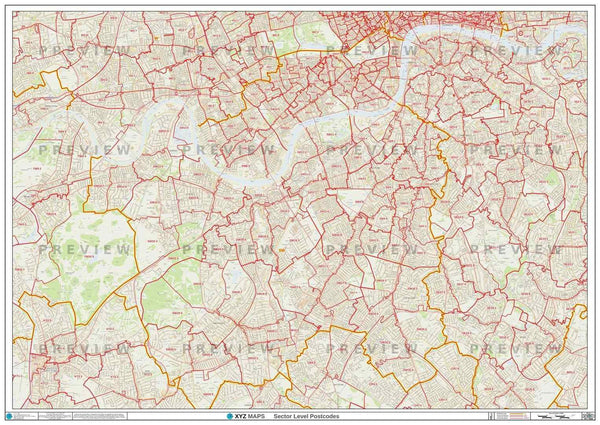
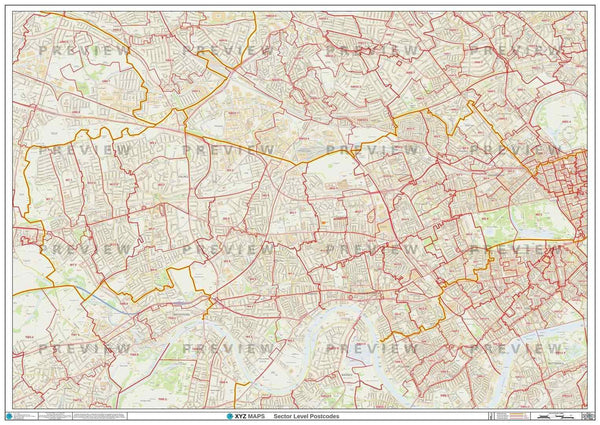
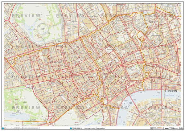
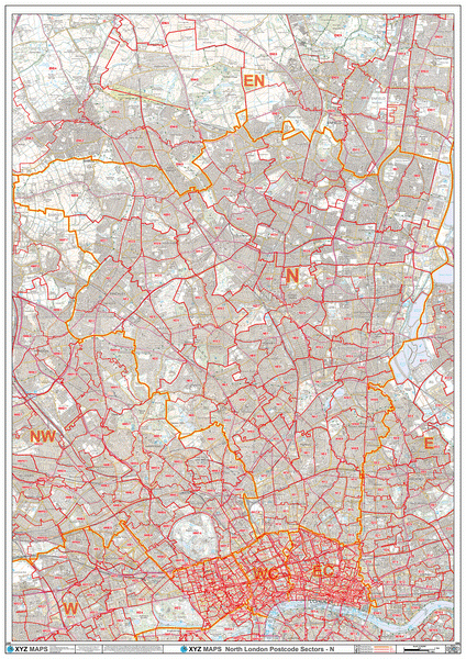
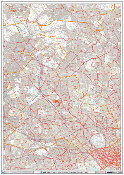
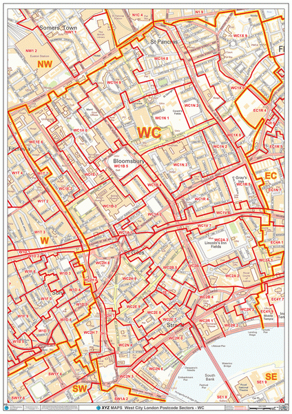
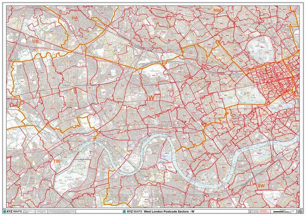
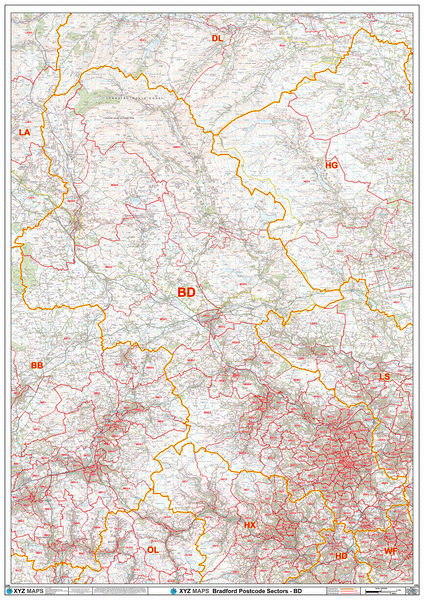
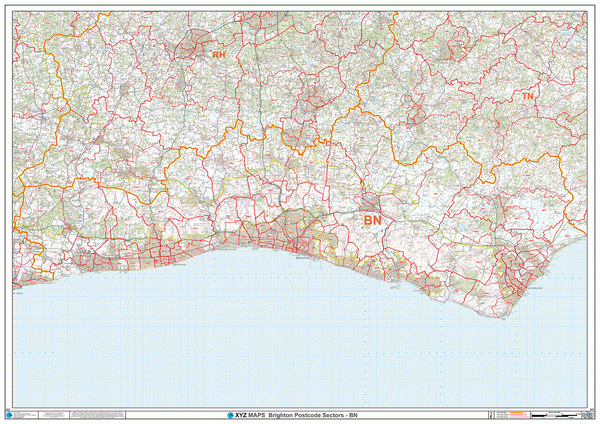
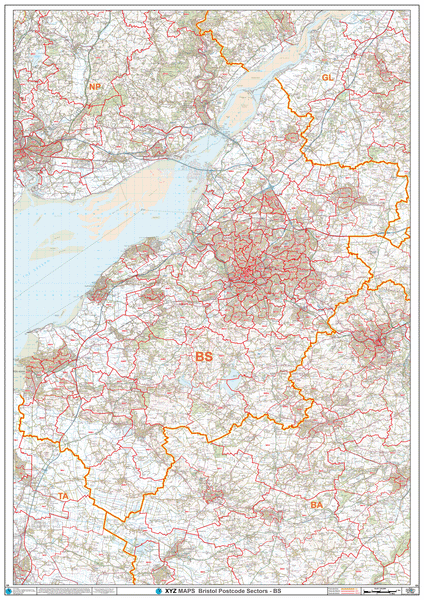
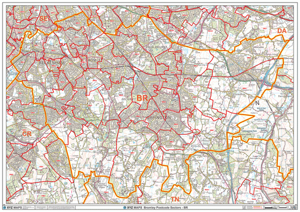
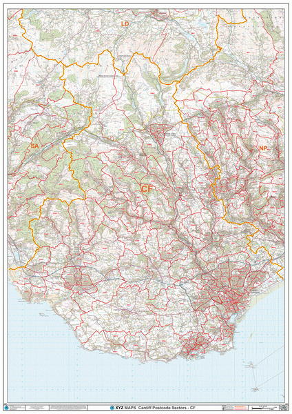
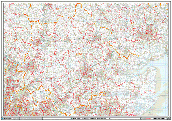
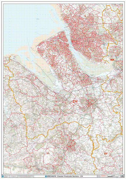
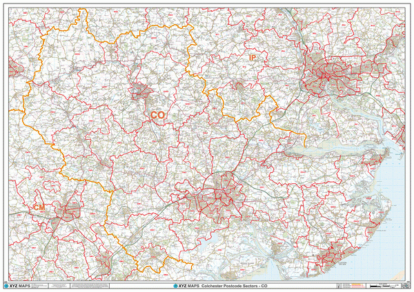
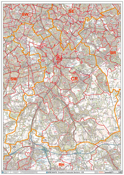
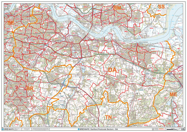
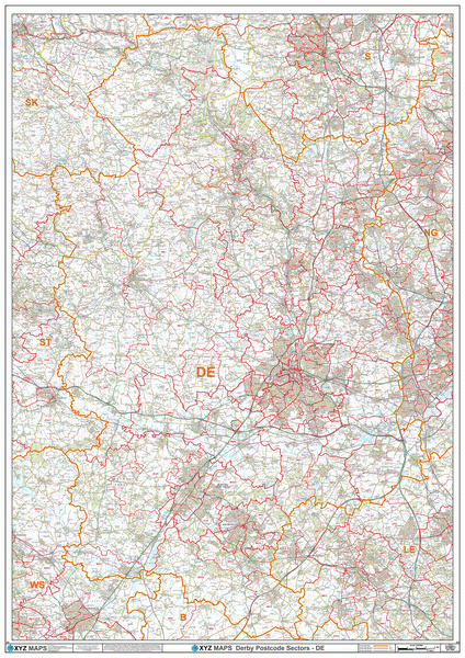
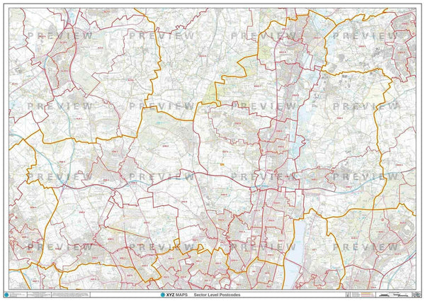
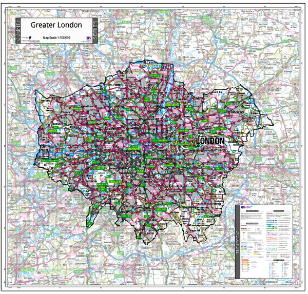
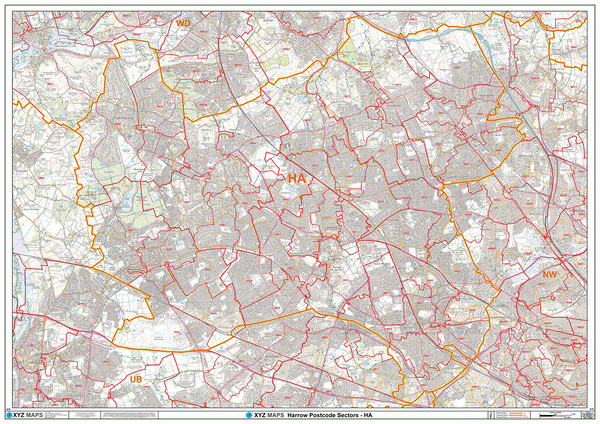
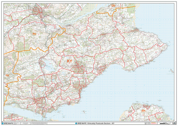
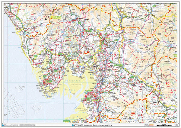
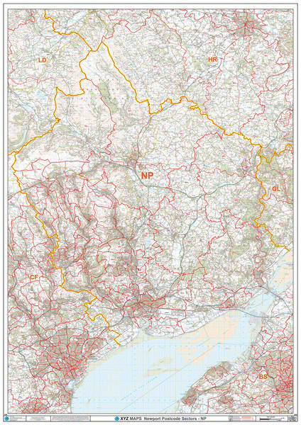
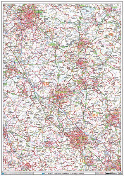
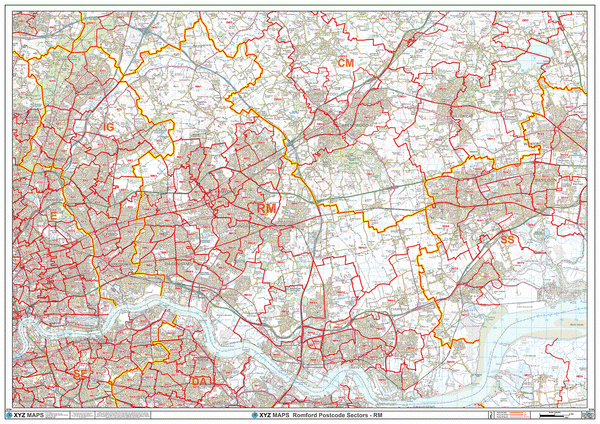
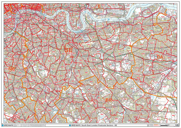
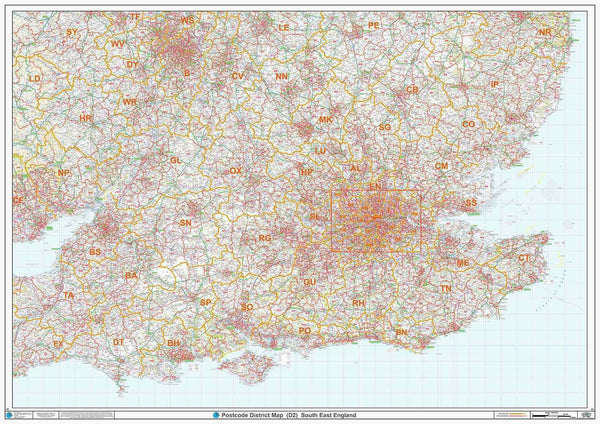
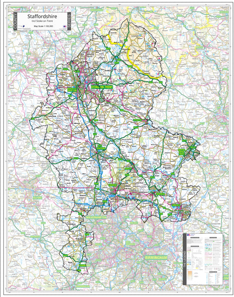
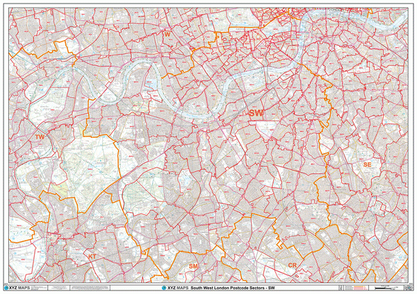
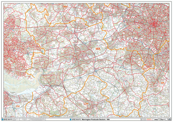
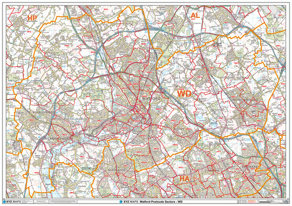
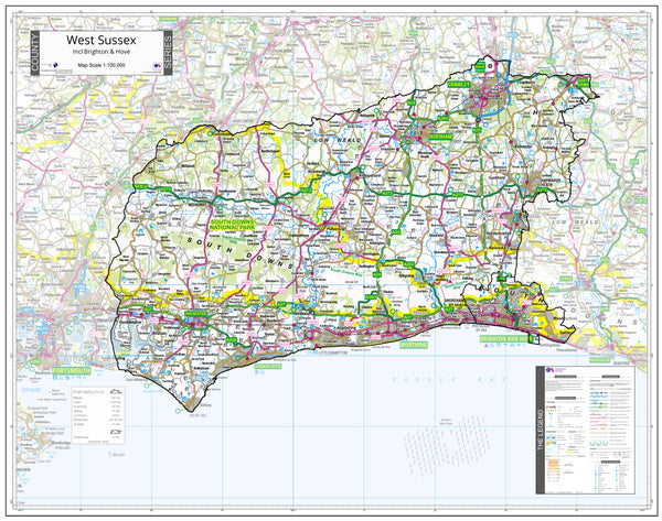
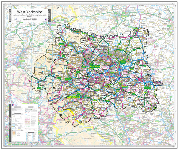
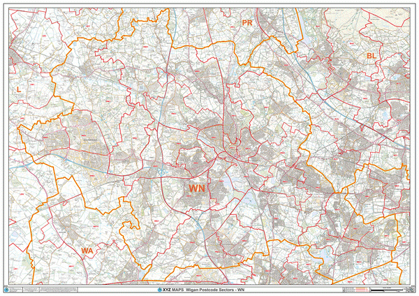
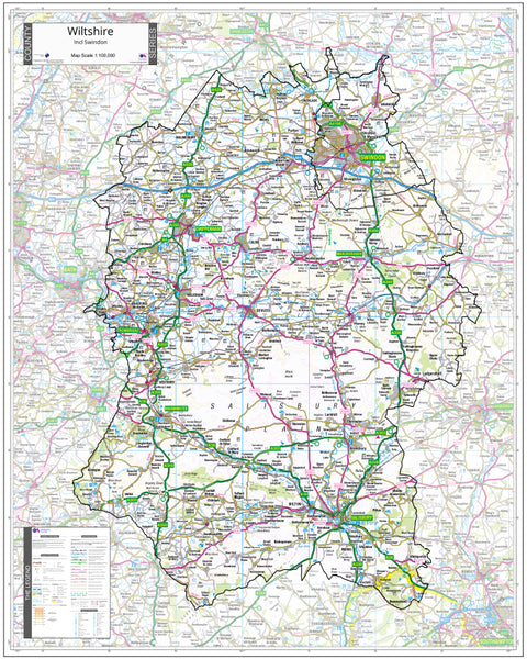
This London Borough Postcode District map covers the Greater London Authority (GLA) area and shows Postcode District boundaries on an Ordnance Survey background map with individual London Boroughs shaded in different colours for easy reference.
Postcode Districts are the first half of the Postcode - everything before the space. Using Postcode SW1 1AA as an example, the Postcode District is SW1.
About This London Borough Map
- Choose from our large A0 (119cm x 84cm) poster-size or our huge 2A0 (168cm x 119cm) Postcode District wall map for easy viewing across the office.
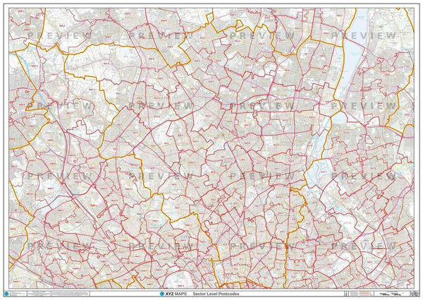
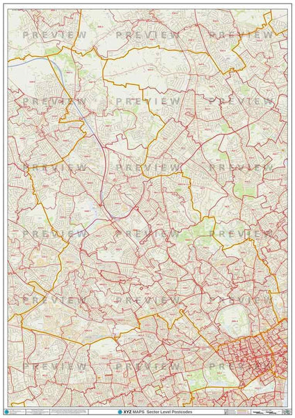
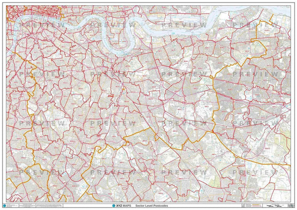
- Up to date Postcode District boundaries and labels in red for clear viewing and quick reference.
- Accurate Ordnance Survey 1:58,000 scale map to locate key cities, towns and roads
- Colour shaded London Boroughs to cross reference Boroughs to Postcode Districts.
- Laminated on both sides with clear plastic to protect from creases, rips and spills extending the life of your map.
- Annotate your map with sales territories, franchise areas or customer locations using water based marker pens and wipe clean again.
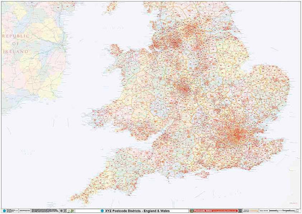
This London Postcode Map Covers:
- The Greater London Authority (GLA) area plus some surrounding areas..
- Towns: Beckenham, Croydon, Dagenham, Dartford, Edgware, Enfield, Epsom, Harrow, Hounslow, Kingston upon Thames, Uxbridge, Watford.
-
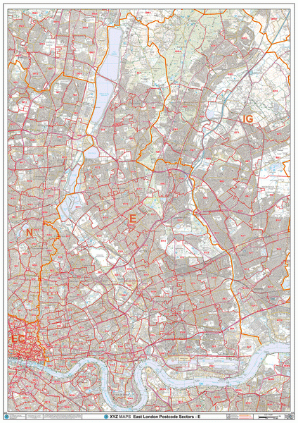
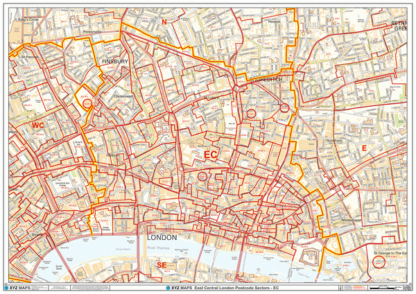
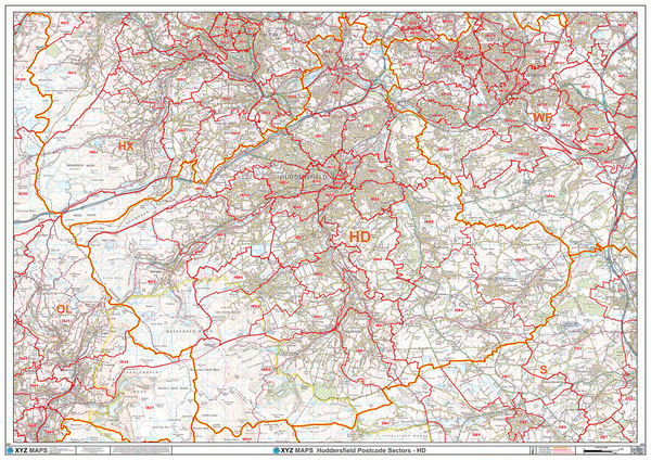
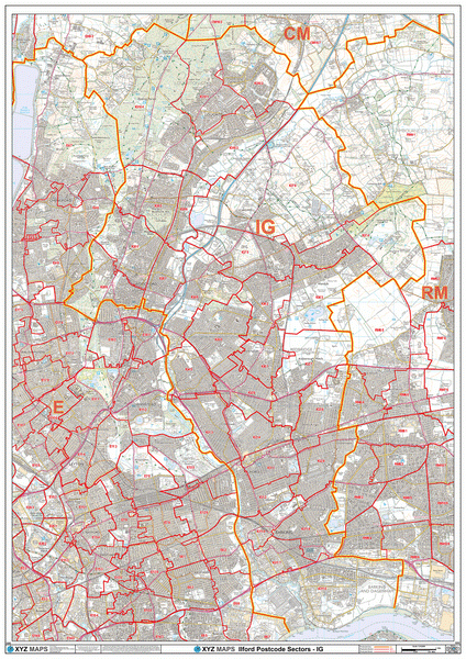
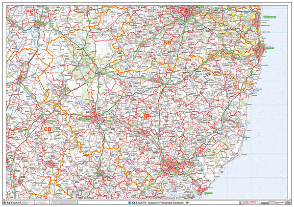
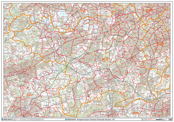
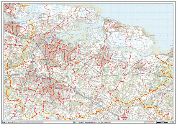
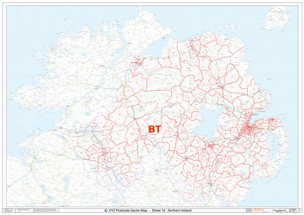
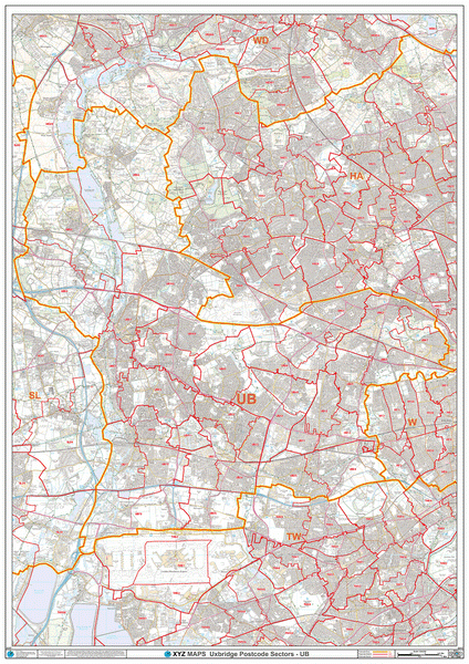
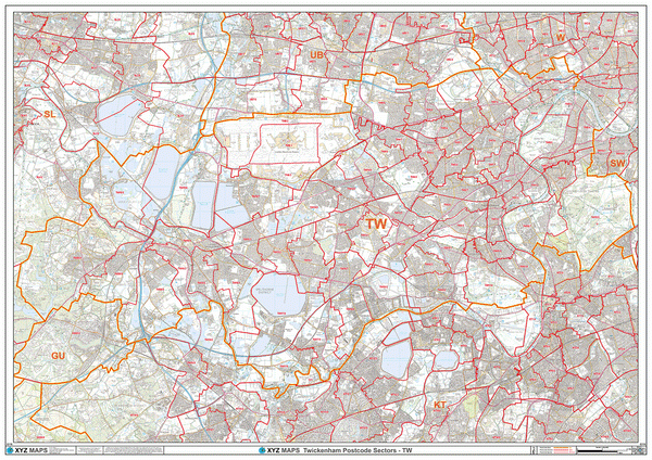
Postcode Areas: BR, CM, CR, DA, E, EC, HA, IG, KT, N, NW, RM, SE, SM, SW, TW, UB, W, WC
Note: Locations listed may only be partially covered. If you need the map to cover a more specific area, try our online custom map maker >
Please allow 5 working days for delivery. For more urgent requirements, please call.