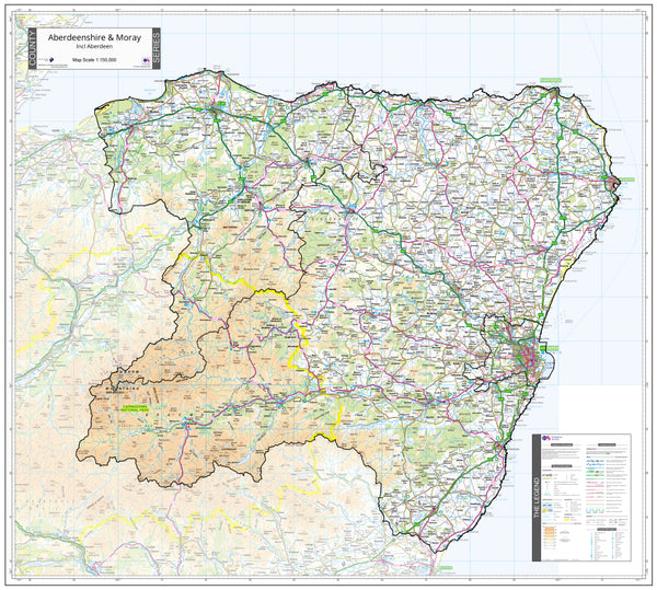
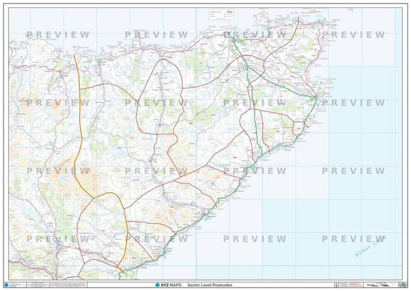
Aberdeenshire Moray, Angus and Forfar County Map (2021)
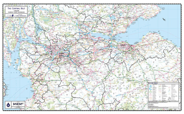
Central Belt of Scotland County Map (2021)
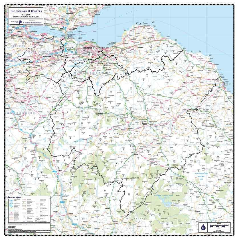
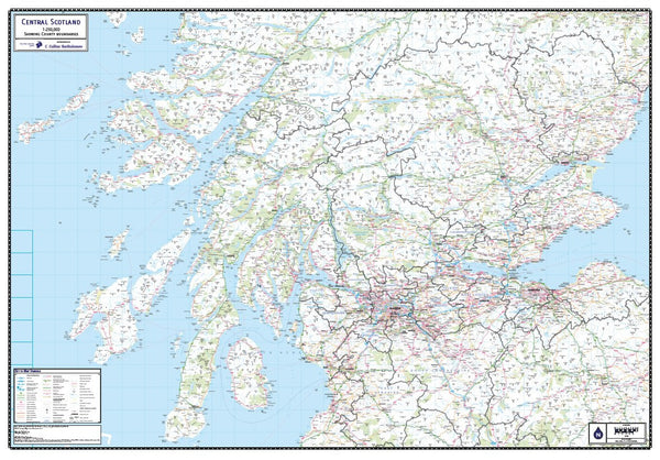
Central Scotland County Map (2021)
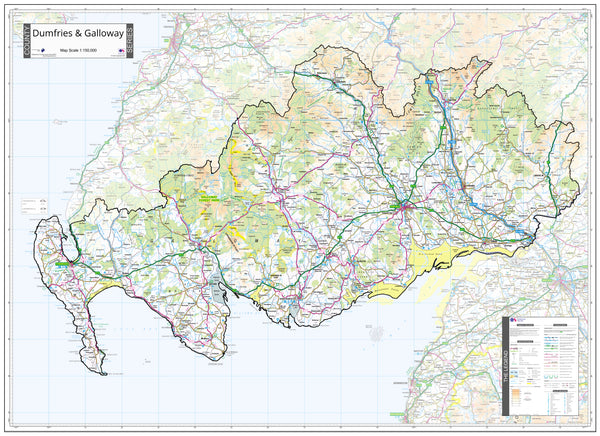
Dumfries and Galloway County Map (2021)
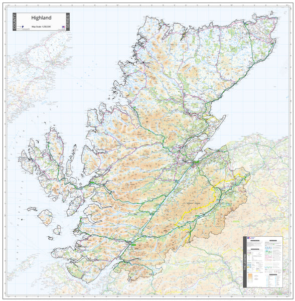
Highlands County Map (2021)
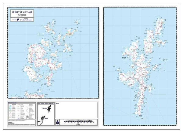
Orkney and Shetland County Map (2021)
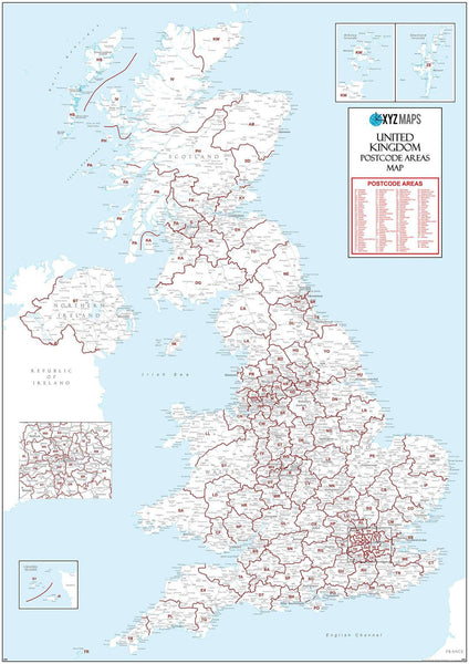
Scotland Postcode Map (D10)
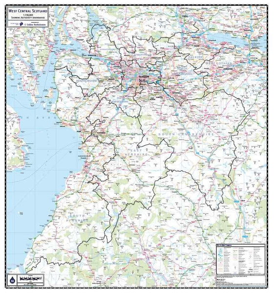
West Central Scotland County Map (2021)
Aberdeen Postcode Map (AB)
Aberdeenshire Moray, Angus and Forfar County Map (2021)
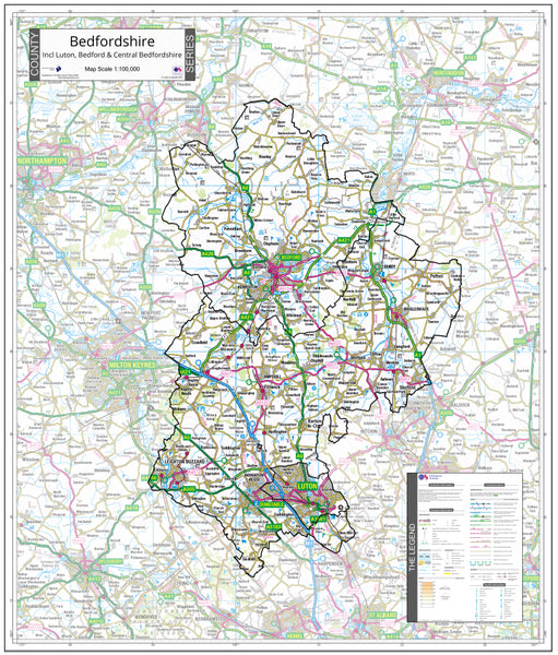
Bedfordshire County Map (2021)
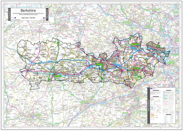
Berkshire County Map (2021)
Birmingham Postcode Map (B)
Blackburn Postcode Map (BB)
Blackpool Postcode Map (FY)
Bournemouth Postcode Map (BH)
Bradford Postcode Map (BD)
Brighton Postcode Map (BN)
Bristol Postcode Map (BS)
Bromley Postcode Map (BR)
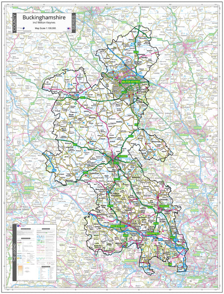
Buckinghamshire County Map (2021)
Cambridge Postcode Map (CB)
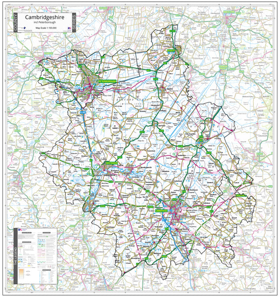
Cambridgeshire County Map (2021)
Canterbury Postcode Map (CT)
Cardiff Postcode Map (CF)
Carlisle Postcode Map (CA)
Central Belt of Scotland County Map (2021)
Central Scotland County Map (2021)
Chelmsford Postcode Map (CM)
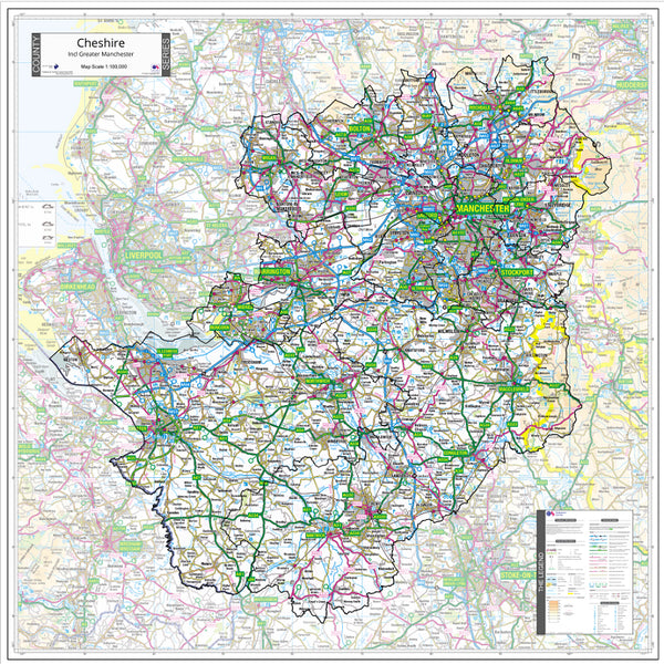
Cheshire County Map (2021)
Chester Postcode Map (CH)
Colchester Postcode Map (CO)
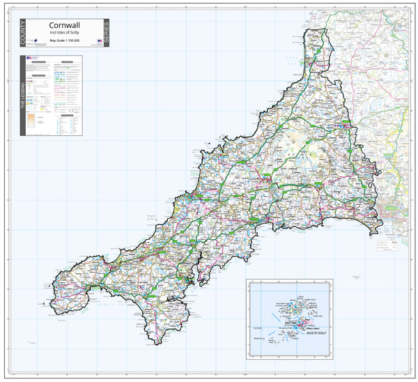
Cornwall County Map (2021)
Coventry Postcode Map (CV)
Croydon Postcode Map (CR)
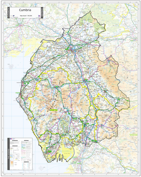
Cumbria County Map (2021)
Darlington Postcode Map (DL)
Dartford Postcode Map (DA)
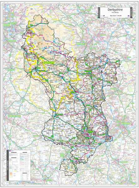
Derbyshire County Map (2021)
Doncaster Postcode Map (DN)
Dorchester Postcode Map (DT)
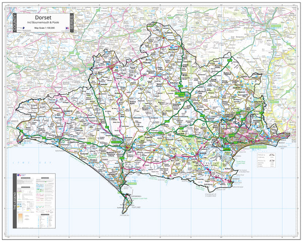
Dorset County Wall Map - Latest Ordnance Survey Boundaries (2021)
Dumfries and Galloway County Map (2021)
East London Postcode Map (E)
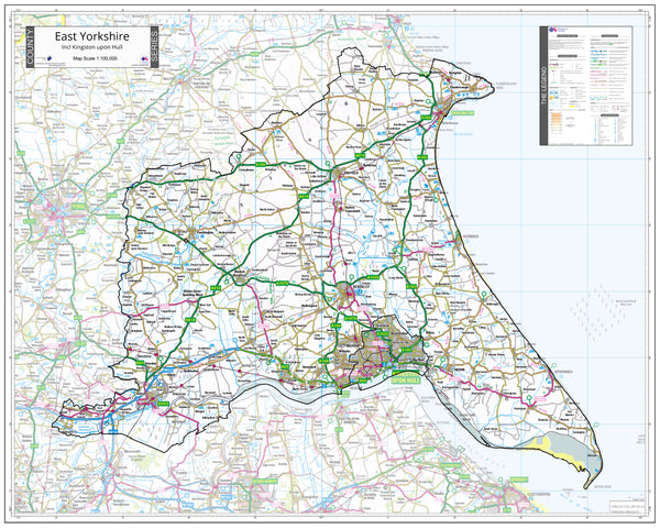
East Yorkshire County Map (2021)
Edinburgh Postcode Map (EH)
Enfield Postcode Map (EN)
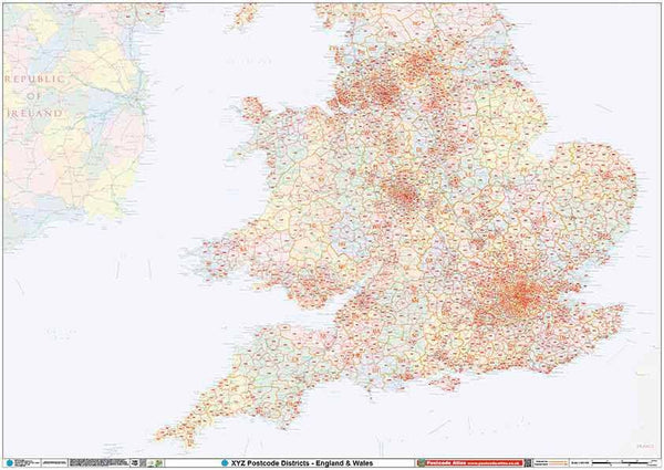
England & Wales Postcode District Map (D9)
Falkirk Postcode Map (FK)
Galashiels Postcode Map (TD)
Gloucester Postcode Map (GL)
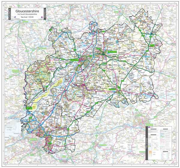
Gloucestershire County Map (2021)
Greater London Authority Borough Postcode District Map (LAD)
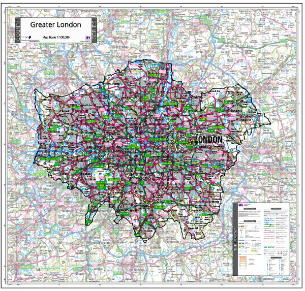
Greater London County Map (2021)
Guildford Postcode Map (GU)
Halifax Postcode Map (HX)
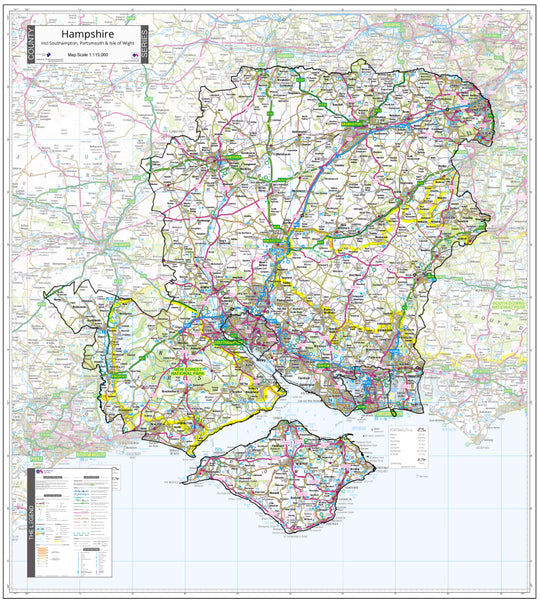
Hampshire County Map (2021)
Harrogate Postcode Map (HG)
Hemel Hempstead Postcode Map (HP)
Hereford Postcode Map (HR)
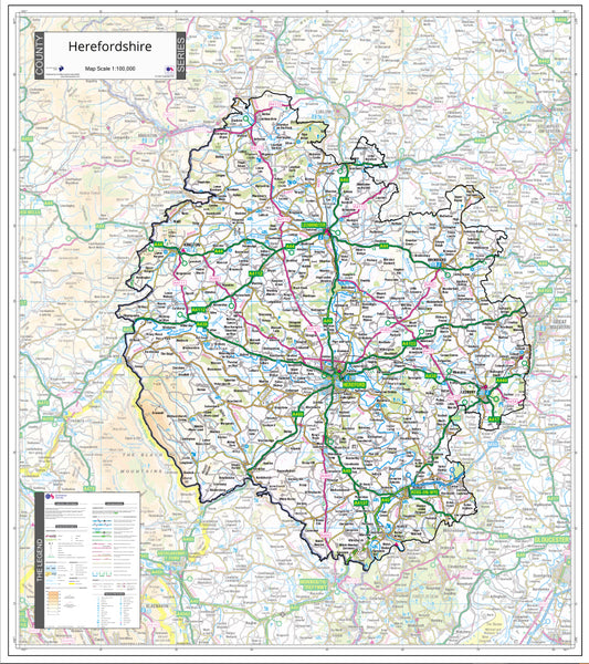
Herefordshire County Map (2021)
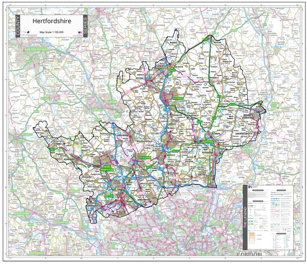
Hertfordshire County Map (2021)
Highlands County Map (2021)
Huddersfield Postcode Map (HD)
Inverness Postcode Map (IV)
Ipswich Postcode Map (IP)
Kilmarnock Postcode Map (KA)
Kingston Postcode Map (KT)
Kirkcaldy Postcode Map (KY)
Kirkwall Postcode Map (KW)
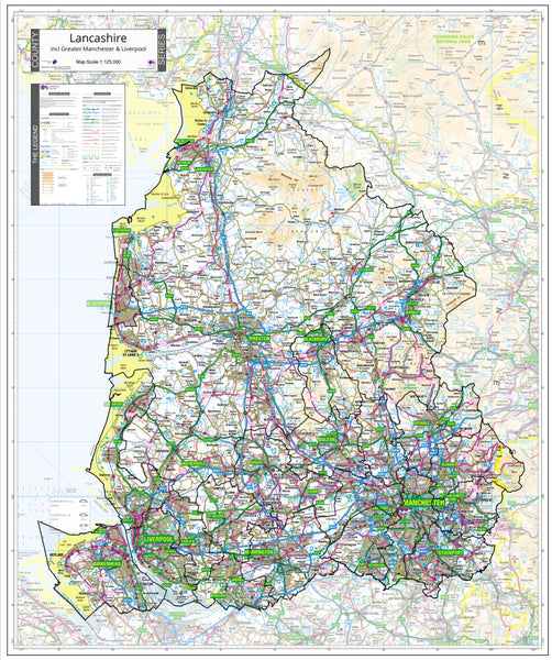
Lancashire County Map (2021)
Lancaster Postcode Map (LA)
Leicester Postcode Map (LE)
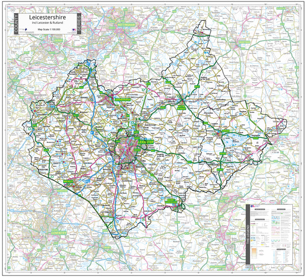
Leicestershire County Map (2021)
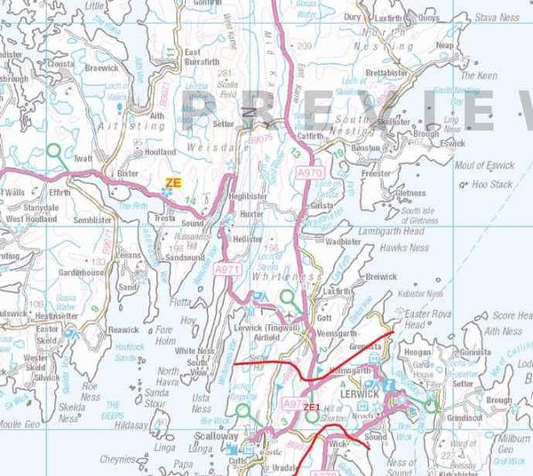
Lerwick Postcode Map (ZE)
Lincoln Postcode Map (LN)
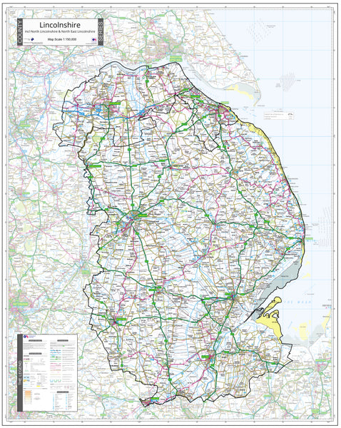
Lincolnshire County Map (2021)
Liverpool Postcode Map (L)
Llandrindod Wells Postcode Map (LD)
Llandudno Postcode Map (LL)
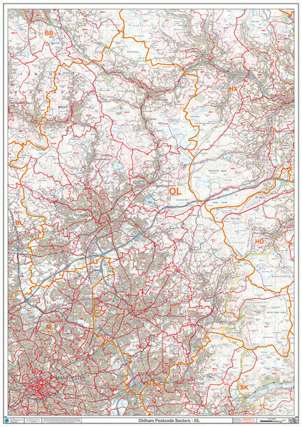
Manchester Postcode Map (M Postcode Area)
Milton Keynes Postcode Map (MK)
Motherwell Postcode Map (ML)
Newcastle Postcode Map (NE)
Newport Postcode Map (NP)
Norfolk County Map (2021)
North London Postcode Map (N)
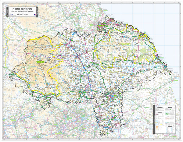
North Yorkshire County Map (2021)
Northampton Postcode Map (NN)
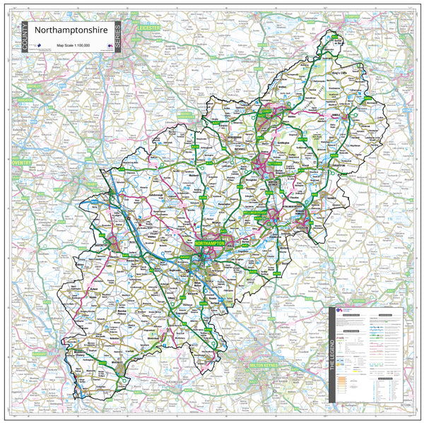
Northamptonshire County Map (2021)
Northern Ireland Postcode Map (BT)
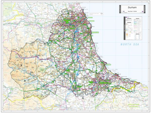
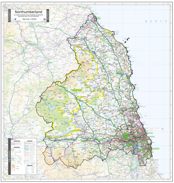
Northumberland County Map (2021)
Norwich Postcode Map (NR)
Nottingham Postcode Map (NG)
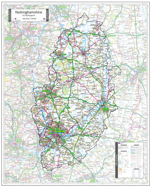
Nottinghamshire County Map (2021)
Orkney and Shetland County Map (2021)
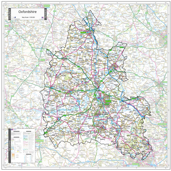
Oxfordshire County Map (2021)
Paisley Postcode Map (PA)
Peterborough Postcode Map (PE)
Plymouth Postcode Map (PL)
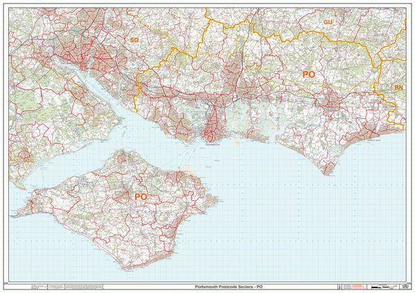
Portsmouth Postcode Map (PO)
Preston Postcode Map (PR)
Reading Postcode Map (RG)
Redhill Postcode Map (RH)
Romford Postcode Map (RM)
Salisbury Postcode Map (SP)
Sheffield Postcode Map (S)
Shrewsbury Postcode Map (SY)
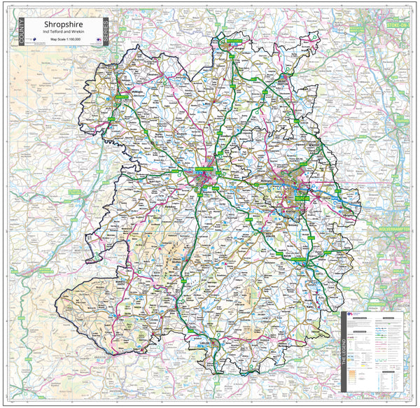
Shropshire County Map (2021)
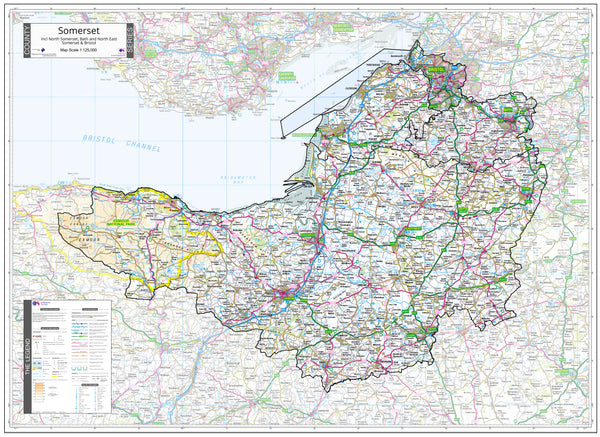
Somerset County Map (2021)
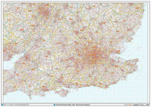
South East England Postcode District Map (D2)
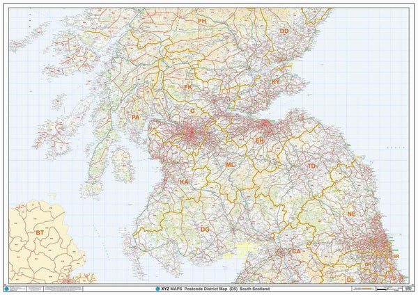
South Scotland Postcode District Map (D5)
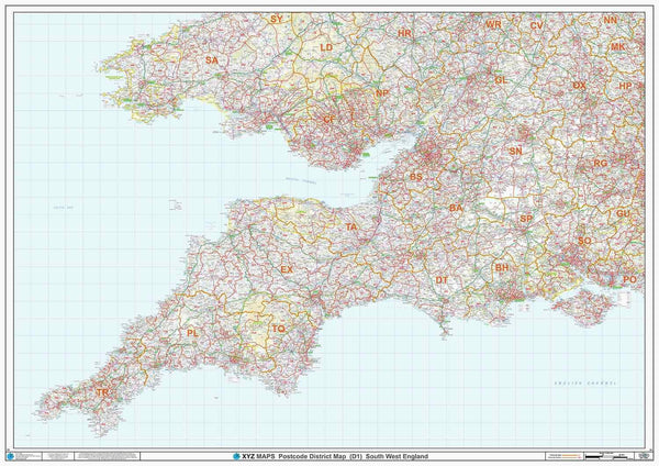
South West England Postcode District Map (D1)
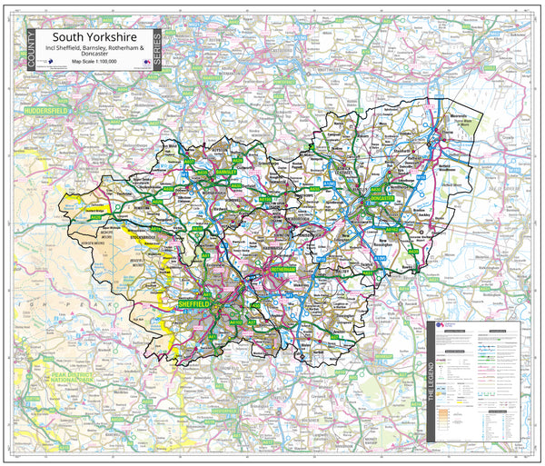
South Yorkshire County Map (2021)
Southall Postcode Map (UB)
Southampton Postcode Map (SO)
Southend-On-Sea Postcode Map (SS)
St Albans Postcode Map (AL)
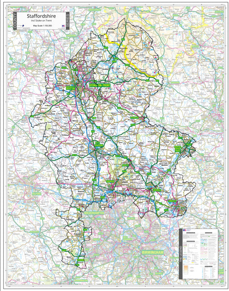
Staffordshire County Map (2021)
Stevenage Postcode Map (SG)
Stockport Postcode Map (SK)
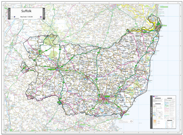
Suffolk County Map (2021)
Sunderland Postcode Map (SR)
Swansea Postcode Map (SA)
Swindon Postcode Map (SN)
Taunton Postcode Map (TA)
Teesside Postcode Map (TS)
Telford Postcode Map (TF)
Tonbridge Postcode Map (TN)
Torquay Postcode Map (TQ)
Twickenham Postcode Map (TW)
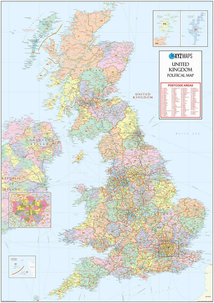
UK Postcode Map with County Shading (AR2)
Wakefield Postcode Map (WF)
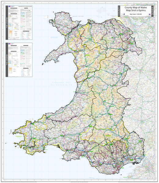
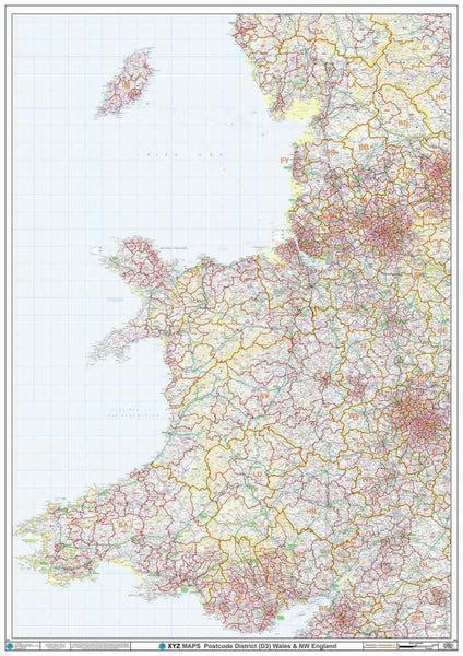
Wales Postcode District Map (D3)
Walsall Postcode Map (WS)
Warrington Postcode Map (WA)
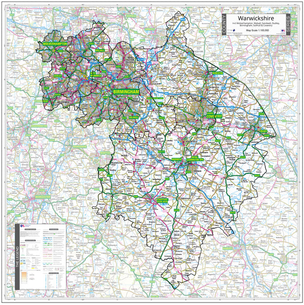
Warwickshire & West Midlands County Map (2021)
Watford Postcode Map (WD)
West Central Scotland County Map (2021)
West London Postcode Map (W)
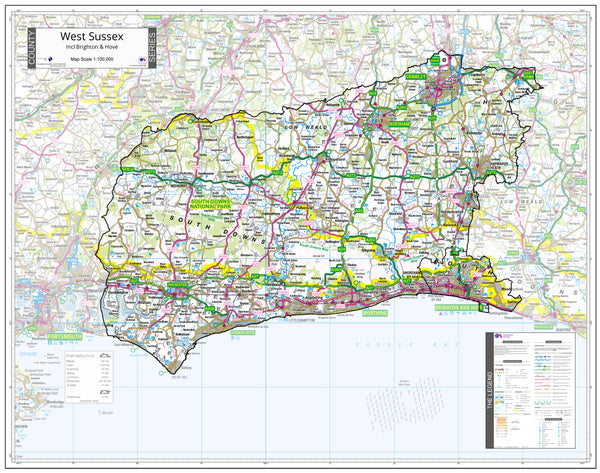
West Sussex County Map (2021)
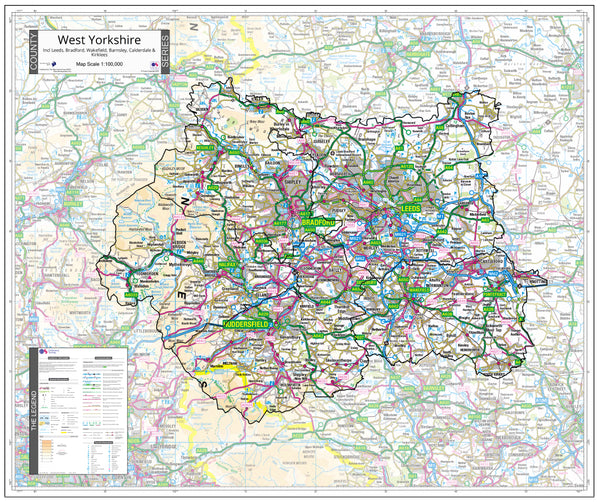
West Yorkshire County Map (2021)
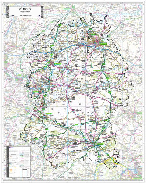
Wiltshire County Map (2021)
Wolverhampton Postcode Map (WV)
Worcester Postcode Map (WR)
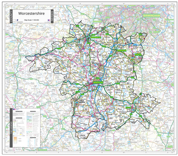
Worcestershire County Map (2021)