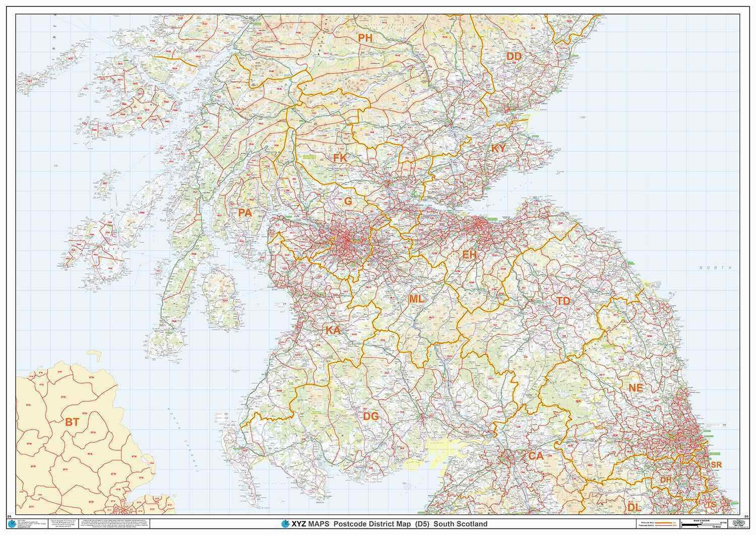
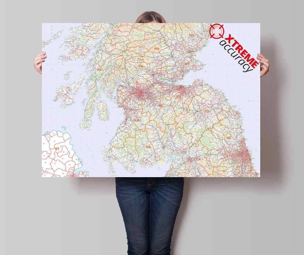
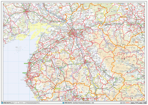
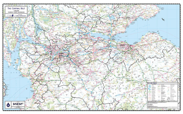
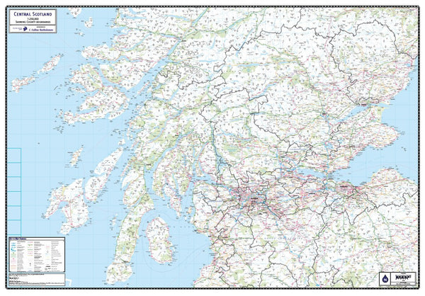
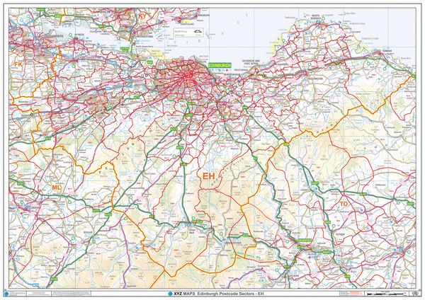
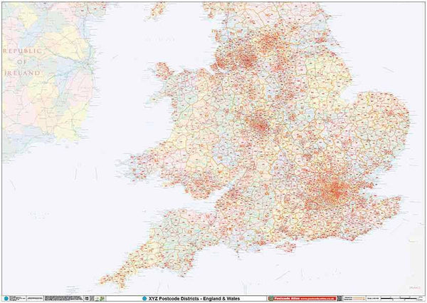
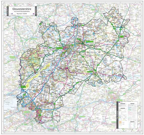
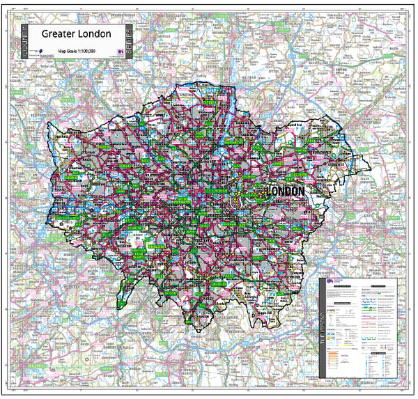
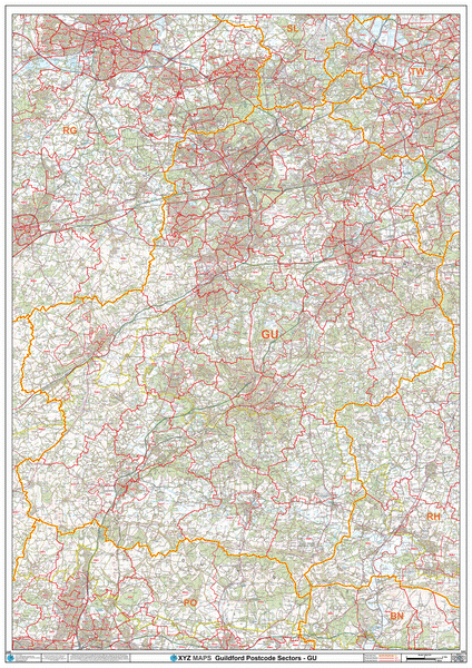
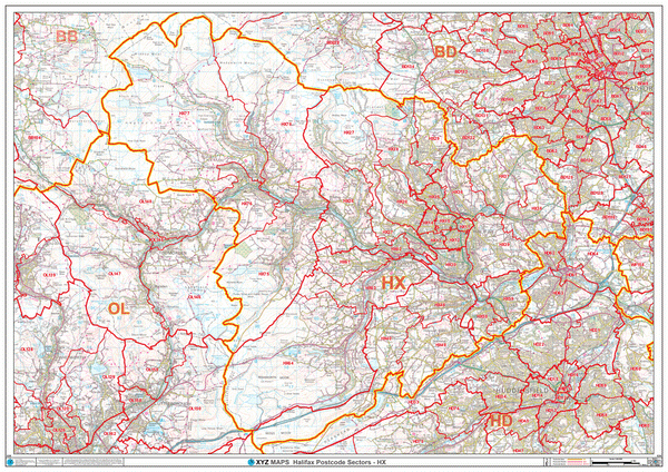
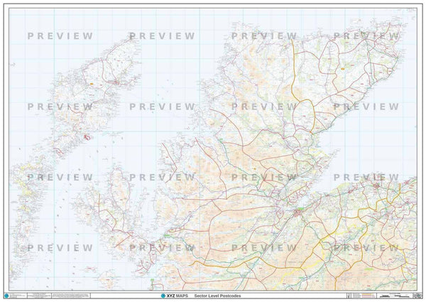
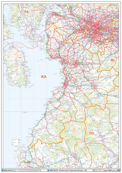
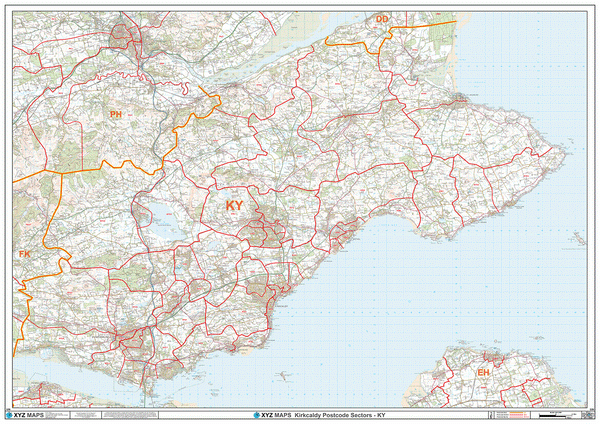
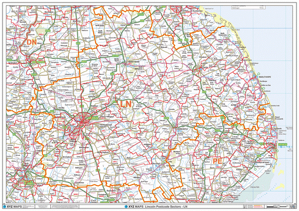
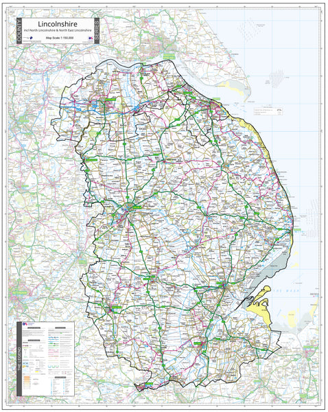
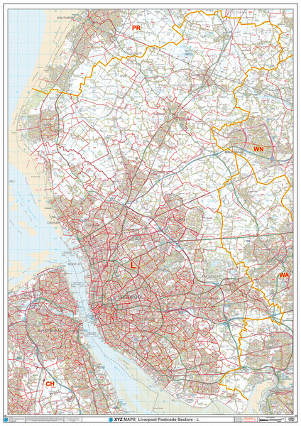
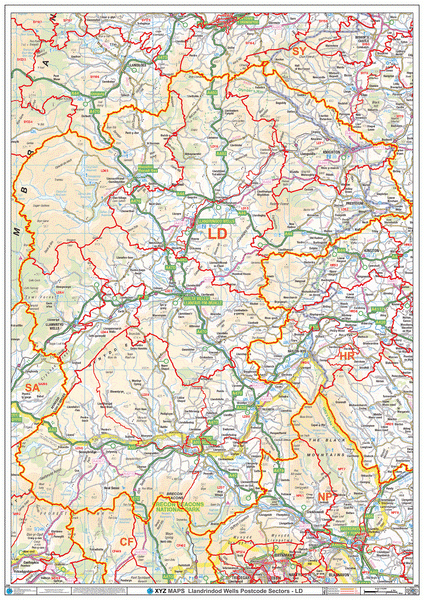
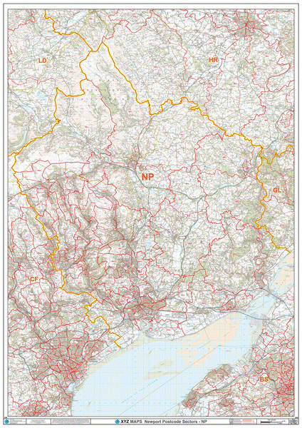
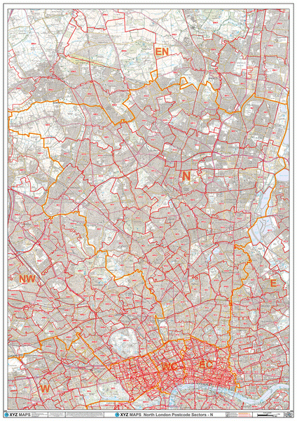
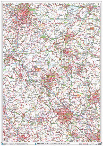
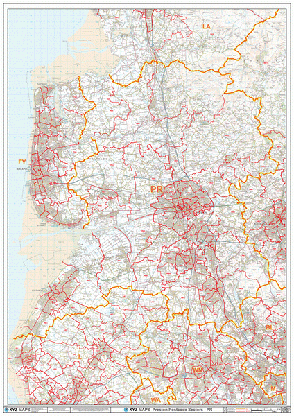
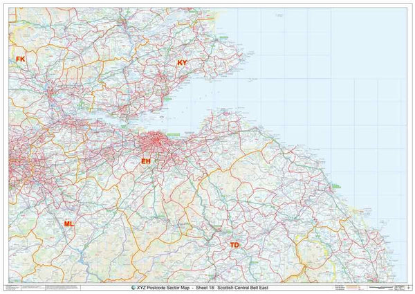
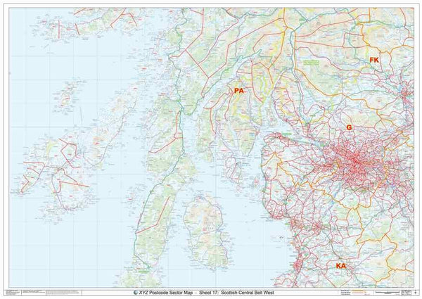
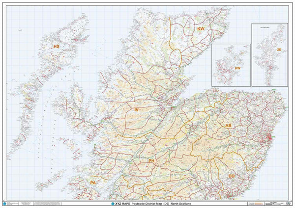
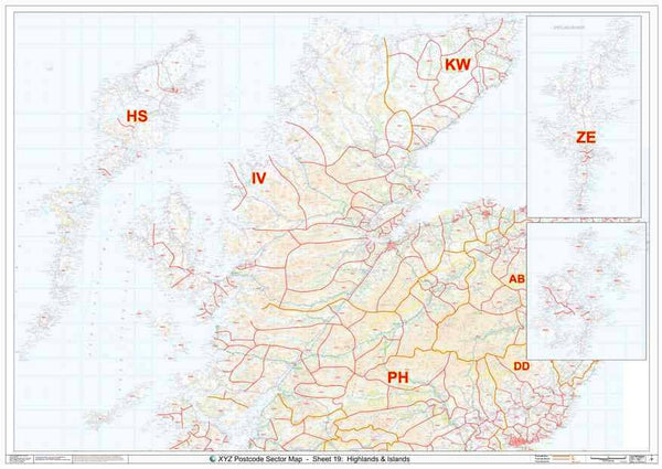
A large high quality laminated Postcode map of South Scotland - including Glasgow & Edinburgh - showing Postcode District boundaries. Postcode Districts are the first half of the Postcode - everything before the space. Using our Postcode of OX7 5LJ as an example, our Postcode District is OX7.
About This South Scotland Postcode District Map
- Choose from our large A0 (119cm x 84cm) poster-size or our huge 2A0 (168cm x 119cm) Postcode District wall map for easy viewing across the office.
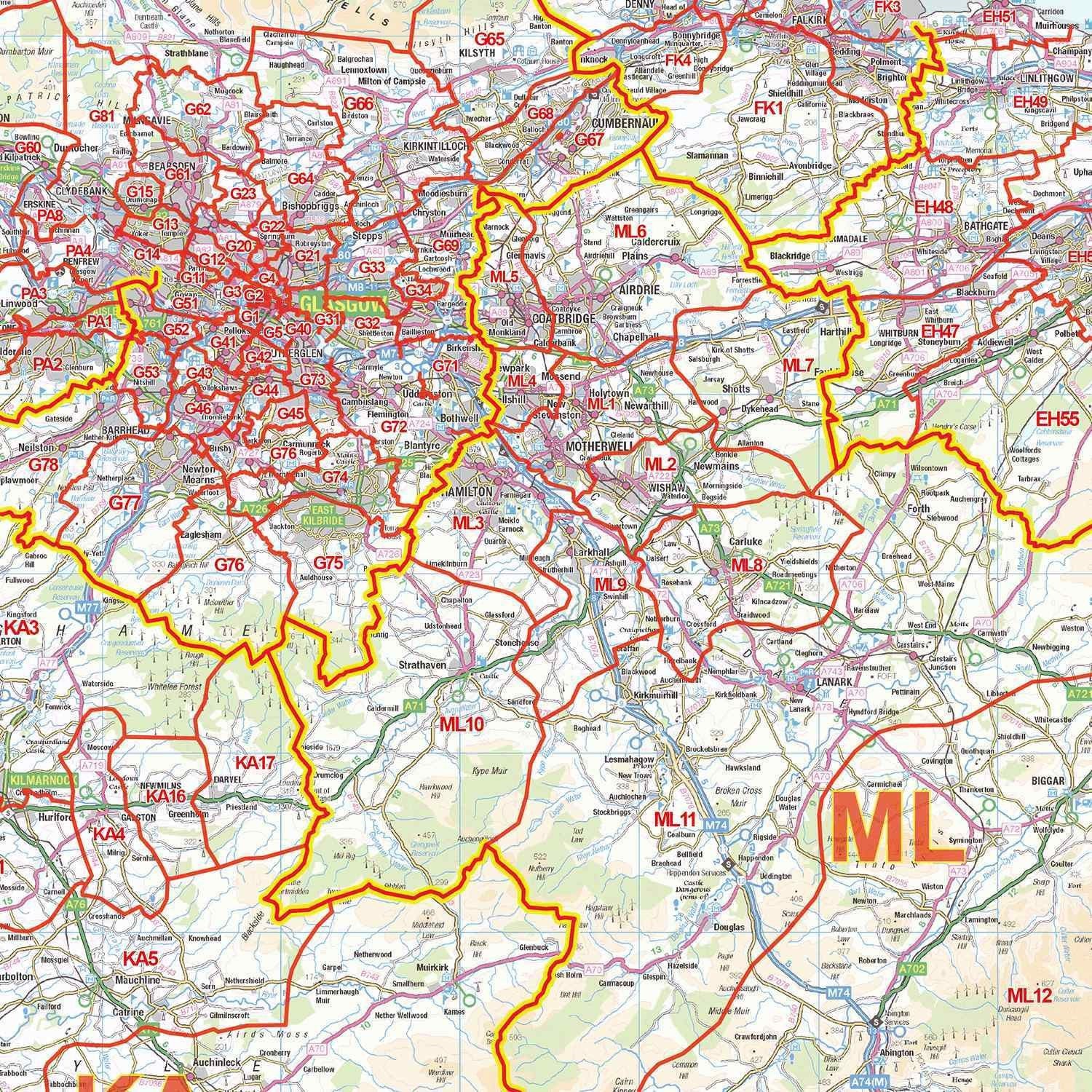
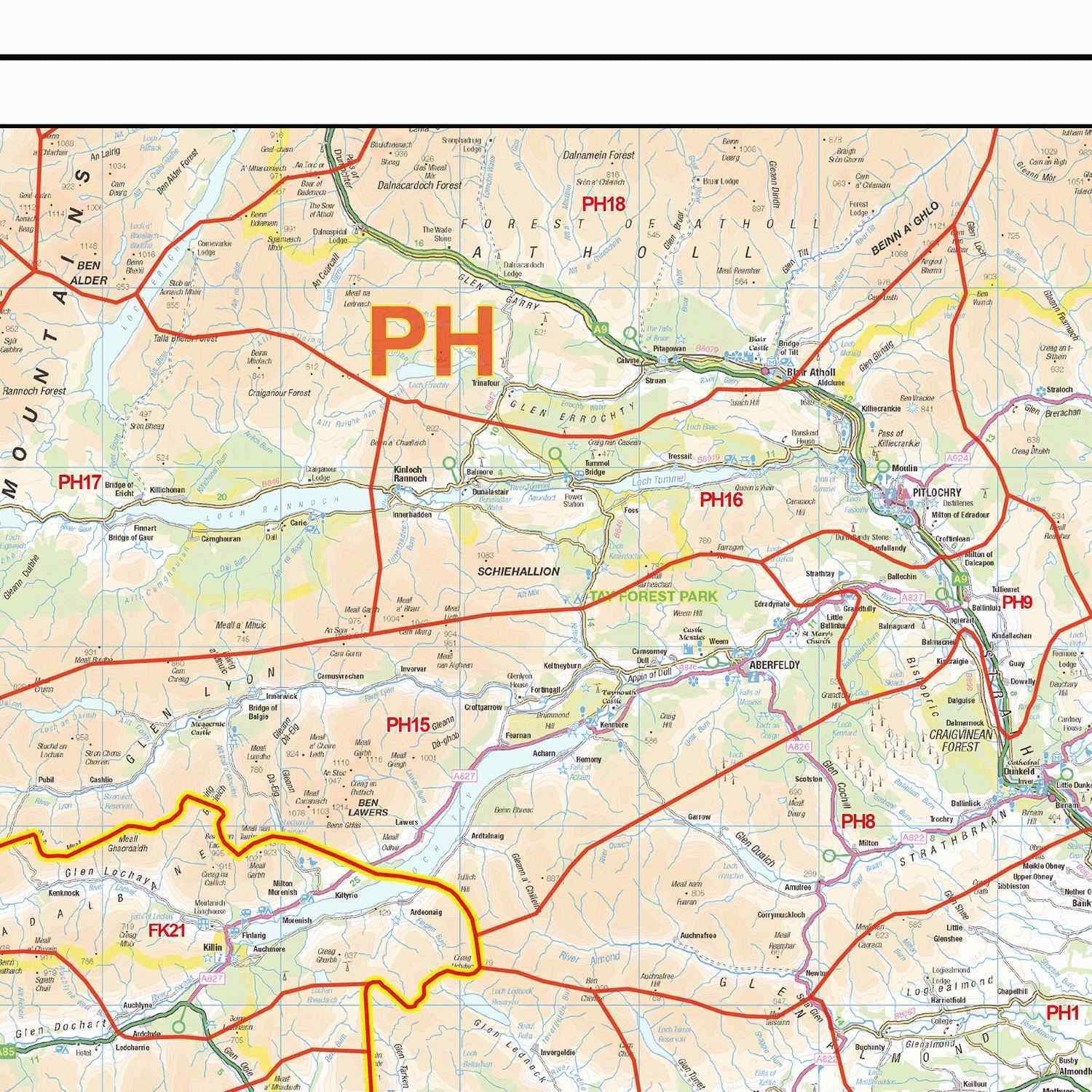
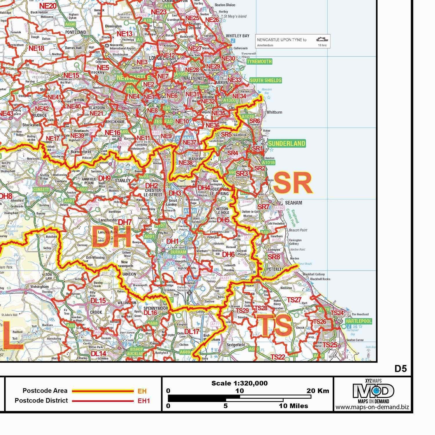
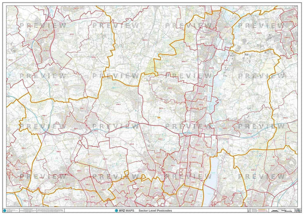
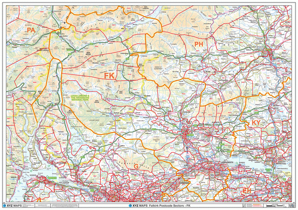
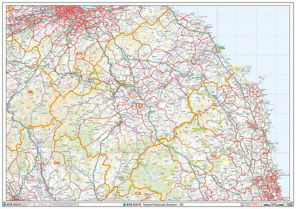
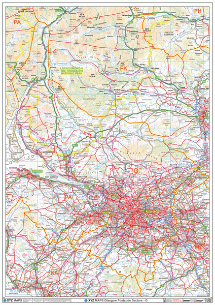
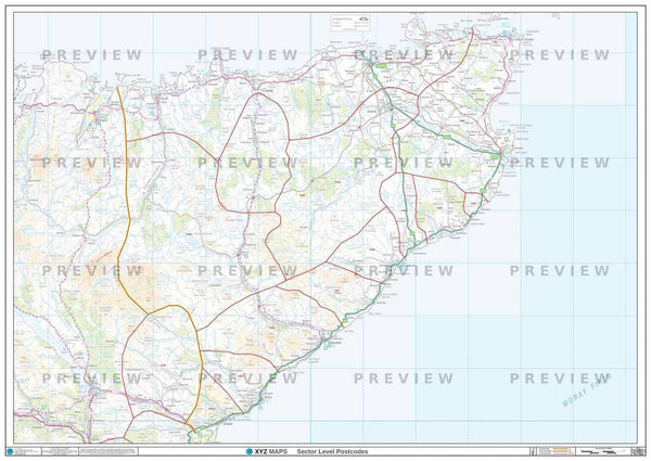
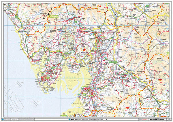
- Up to date Postcode District boundaries and labels in red for clear viewing and quick reference.
- Accurate Ordnance Survey 1:320,000 scale map to locate key cities, towns and roads
- Laminated on both sides with clear plastic to protect from creases, rips and spills extending the life of your map.
- Annotate your map with sales territories, franchise areas or customer locations using water based marker pens and wipe clean again.
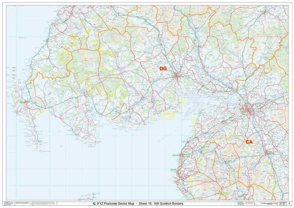
This Postcode Map Covers:
- From the West Coast across to the East coast; and from Fort William in the North to Hartlepool in the South.
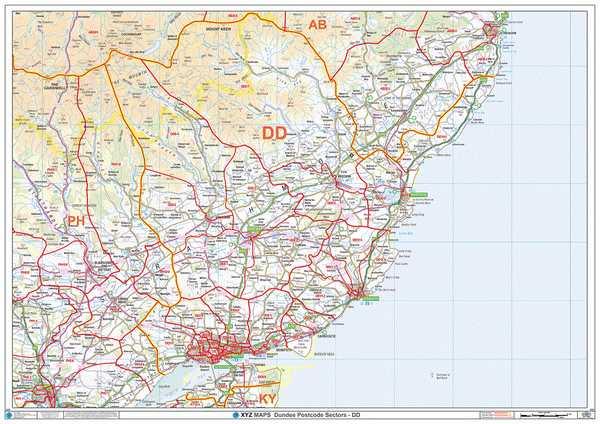
- Cities: Arbroath, Ayr, Dumfries, Dundee, Dunfermline, Edinburgh, Forfar, Glasgow, Kilmarnock, Livingstone, Oban, Montrose and Perth.
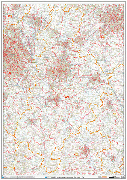
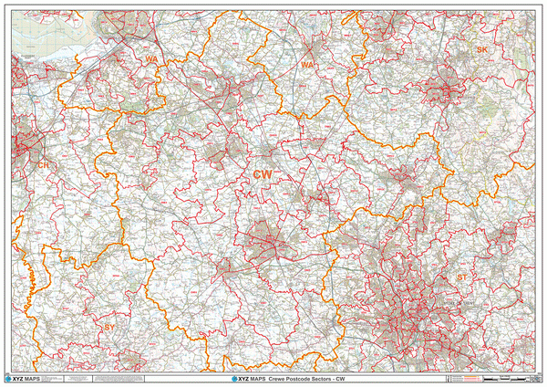
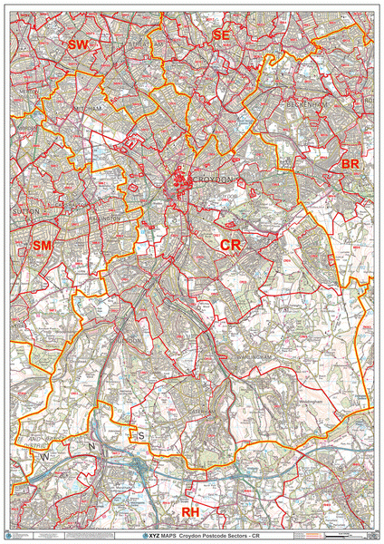
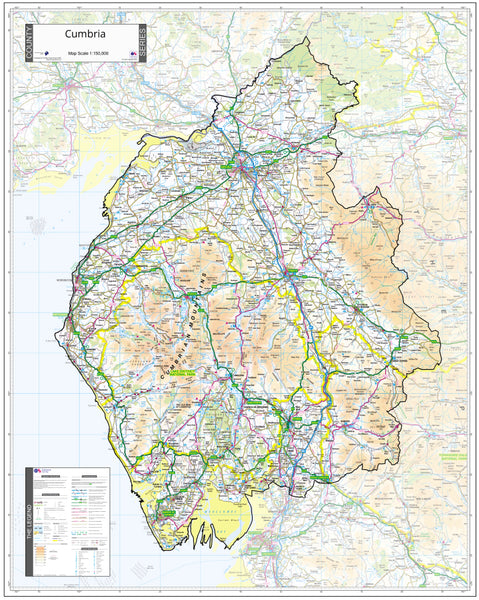
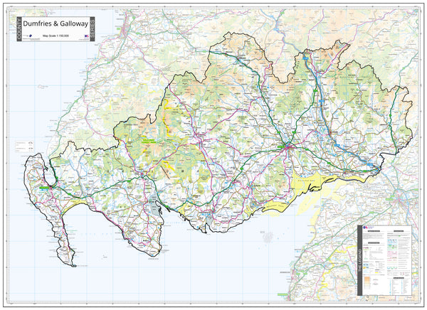
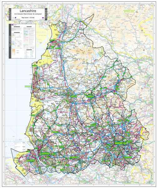
- Counties: Angus, Argyll & Bute, Ayrshire, Borders, Cumbria, Dumfries & Galloway, East Lothian, Lanarkshire, Midlothian, Northumberland, Perth & Kinross, Stirling, West Lothian
-
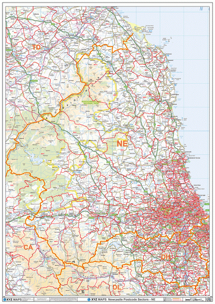
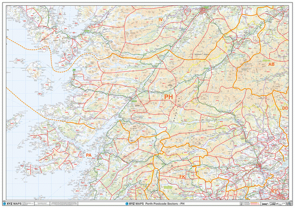
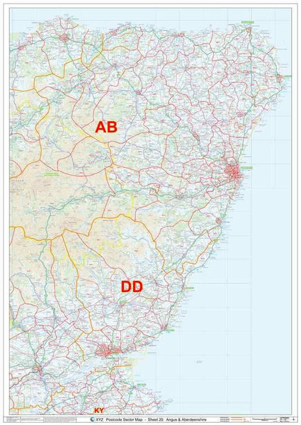
Postcode Areas: CA, DD, DG, EH, G, HS, IV, KA, KW, KY, ML, NE, PH, TD, ZE
- See map area on Google Maps >
Note: Locations listed may only be partially covered. If you need the map to cover a more specific area, try our online custom map maker >
Please allow 5 working days for delivery. For more urgent requirements, please call.