Regional Postcode Maps
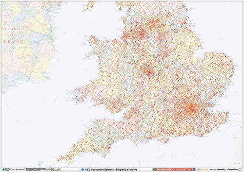
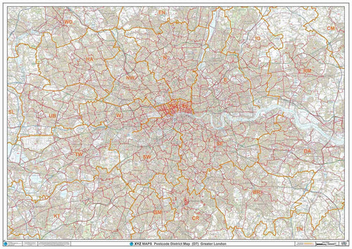
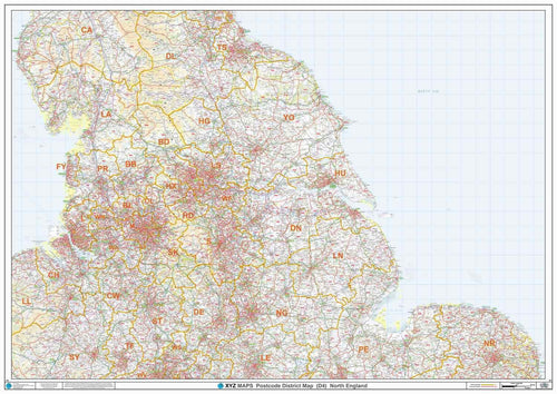
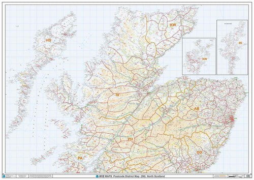
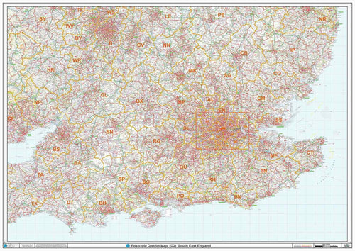
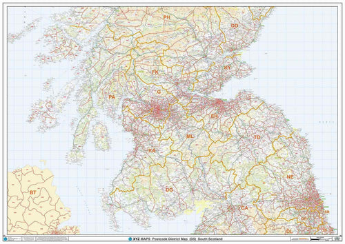
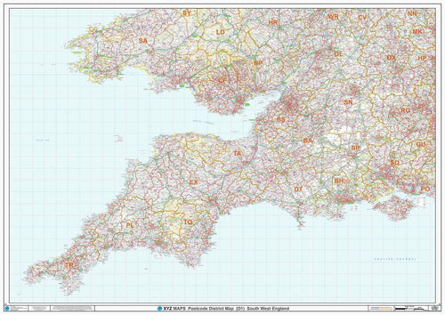
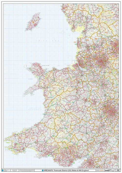
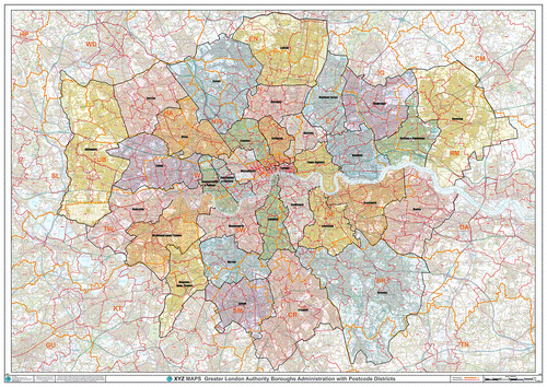
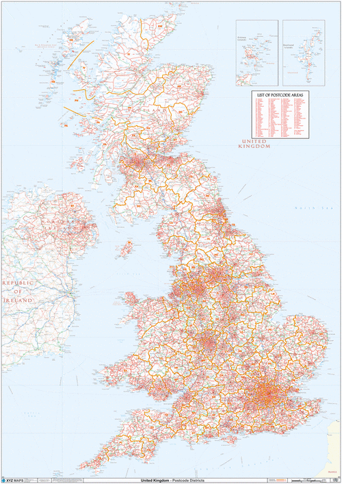
Our 10 Postcode District Maps cover the United Kingdom at a national or regional level and show the boundaries and codes for the first half of the Postcode. For example boundaries and labels for NW1 or B2 Postcode Districts.
Choose from
- A Huge Postcode District map of the entire UK;
- Regional maps showing more towns, roads and villages for more detailed planning as shown below.
- A Greater London Postcode District map.
If you have a specific requirement or you are not sure how to get started, just let us know and we’ll be happy to help.

