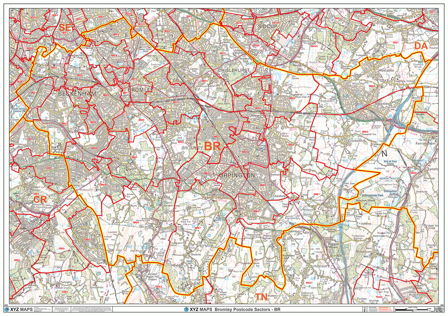
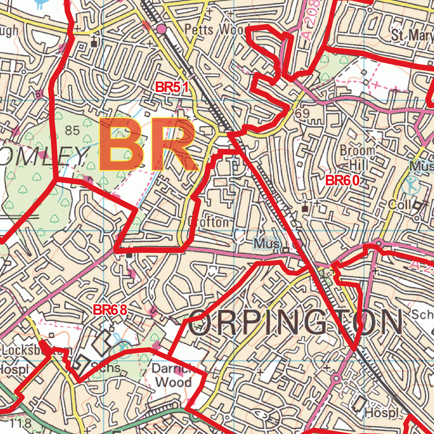
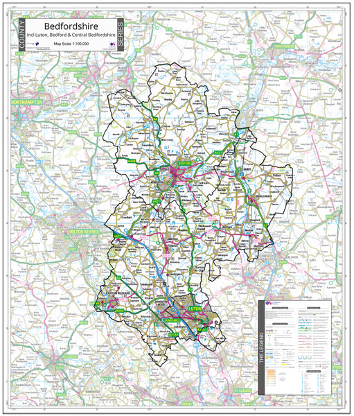
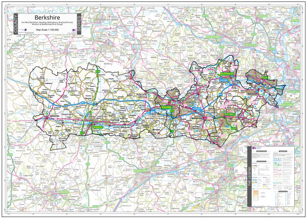
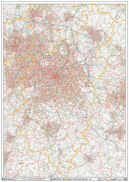
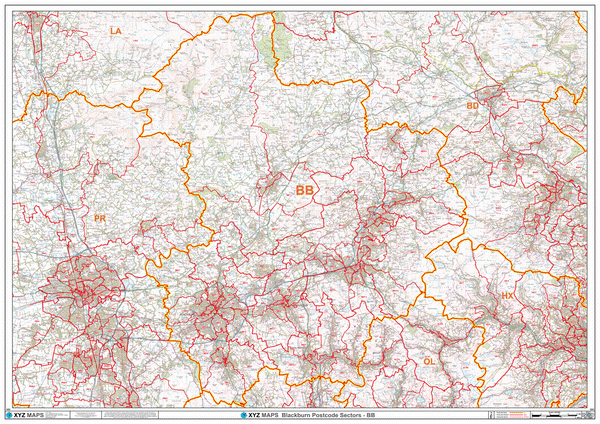
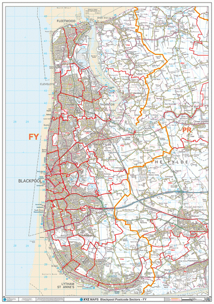
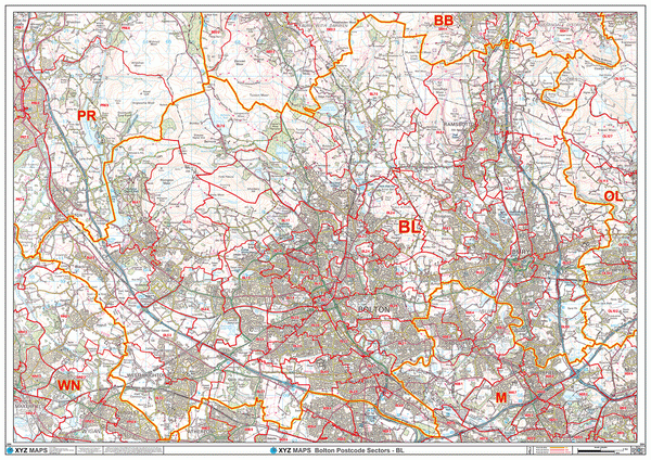
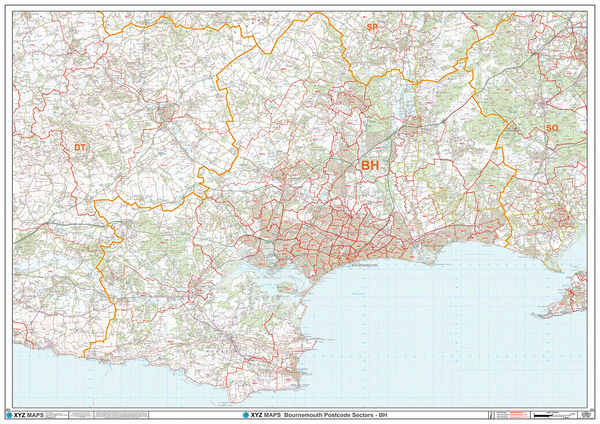
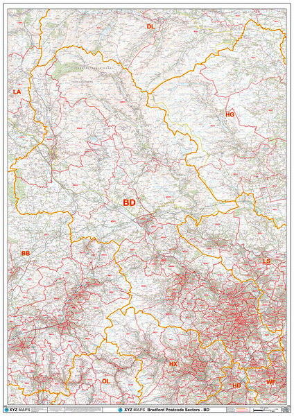
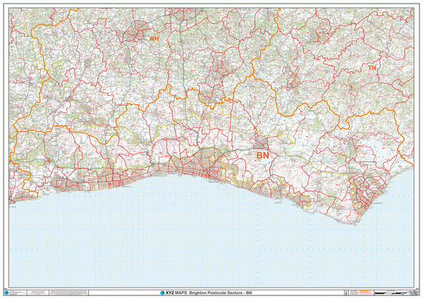
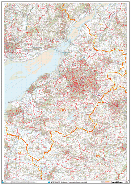
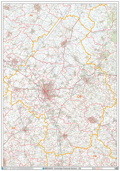
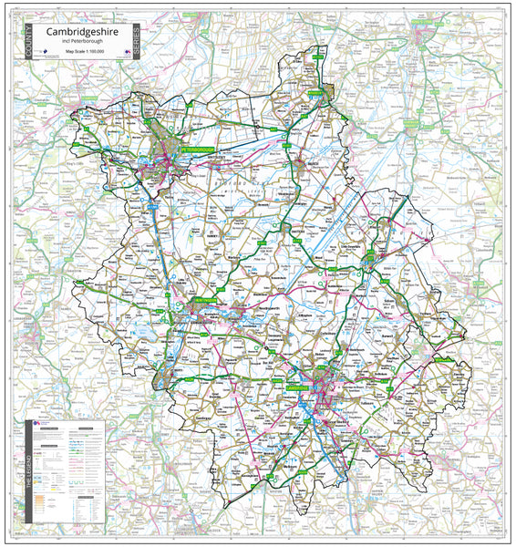
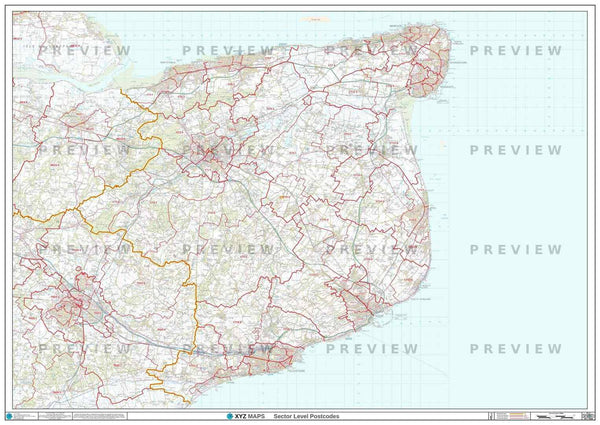
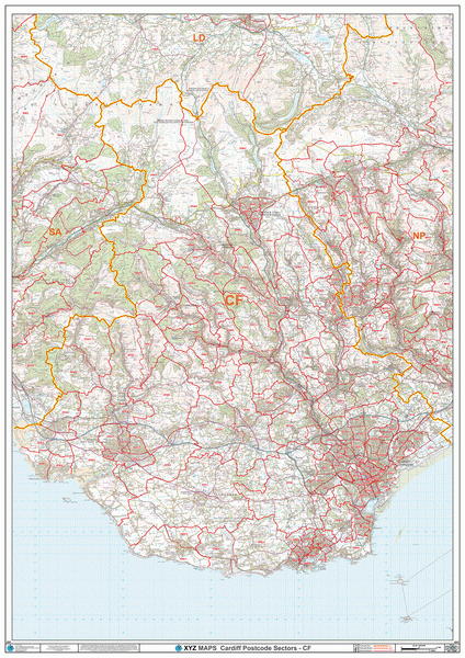
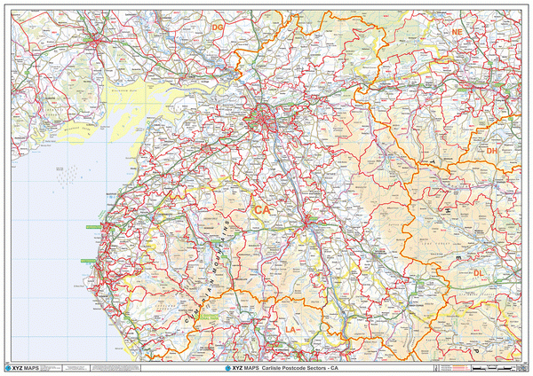
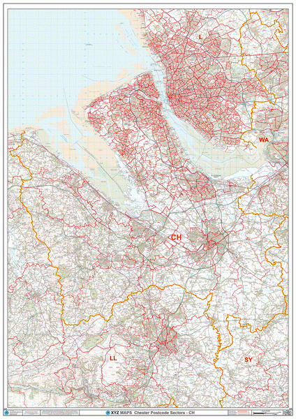
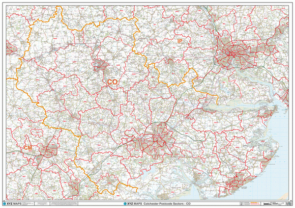
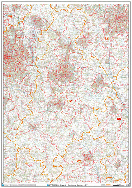
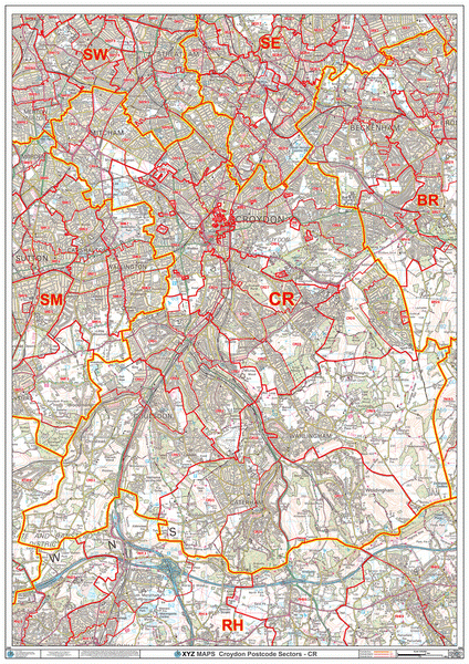
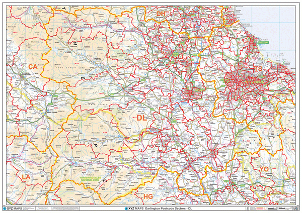
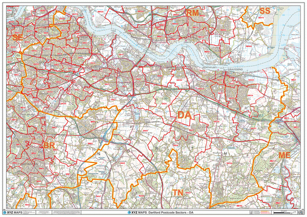
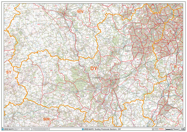
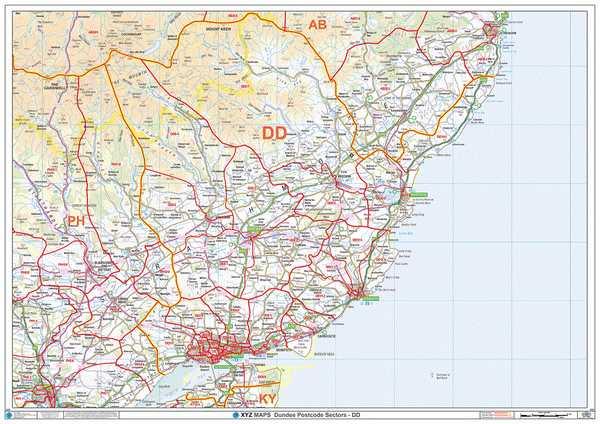
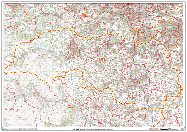
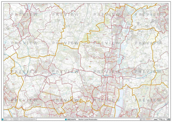
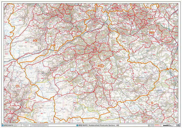
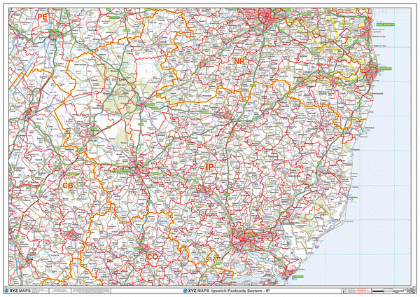
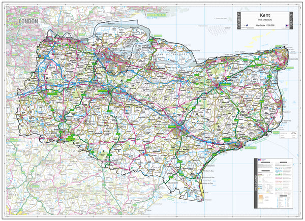
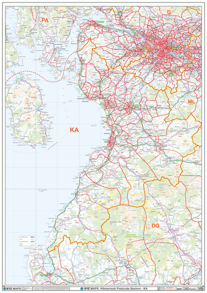
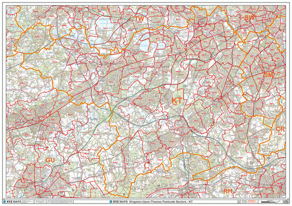
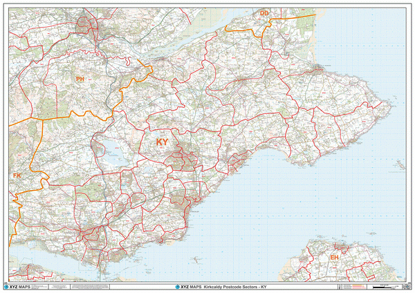
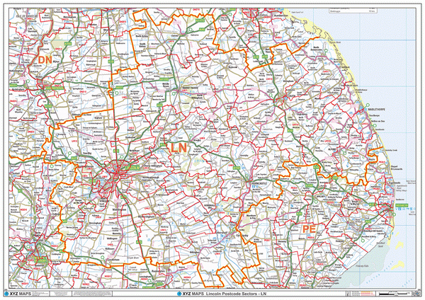
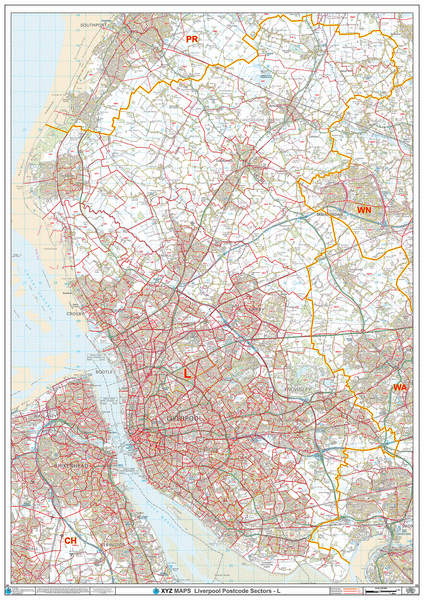
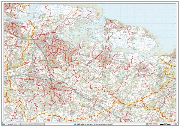
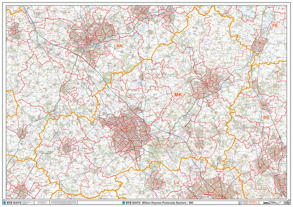
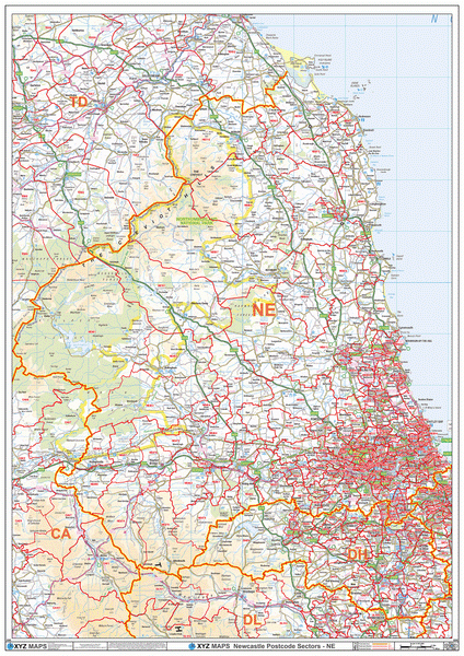
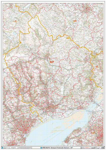
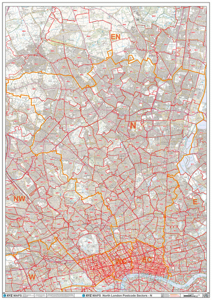
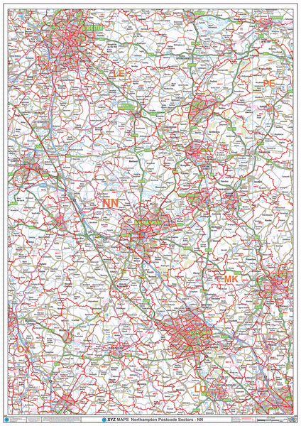
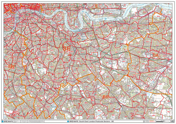
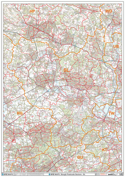
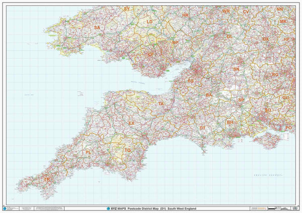
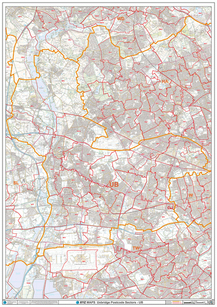
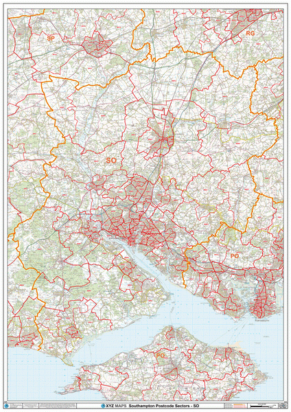
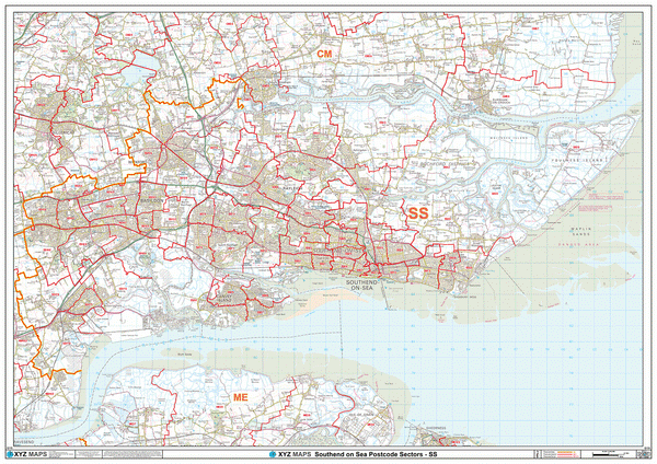
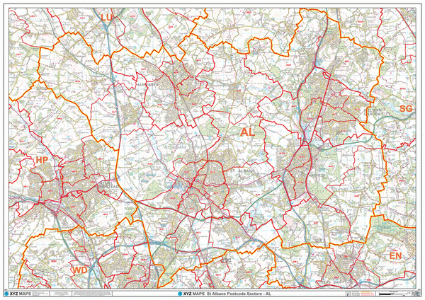
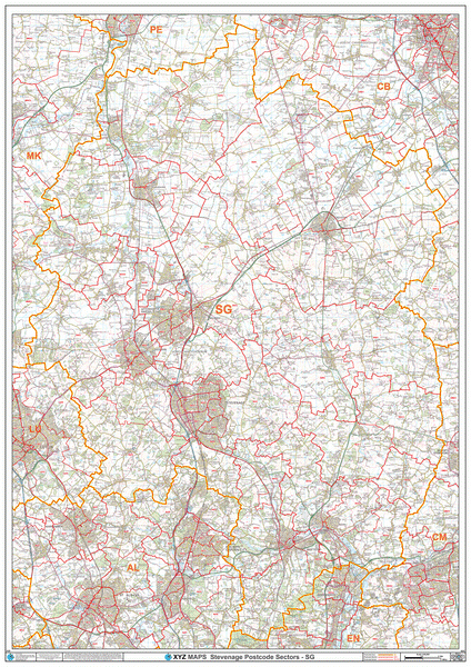
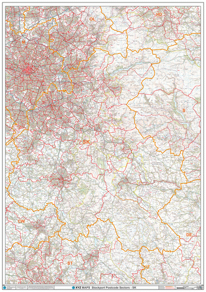
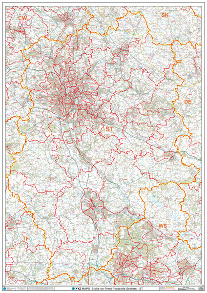
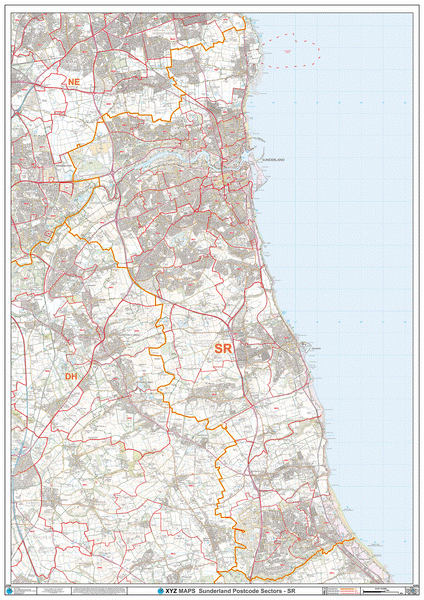
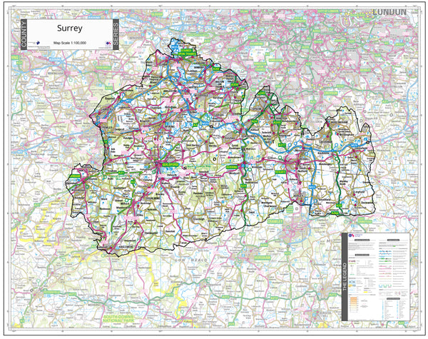
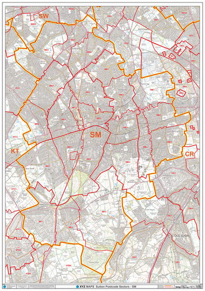
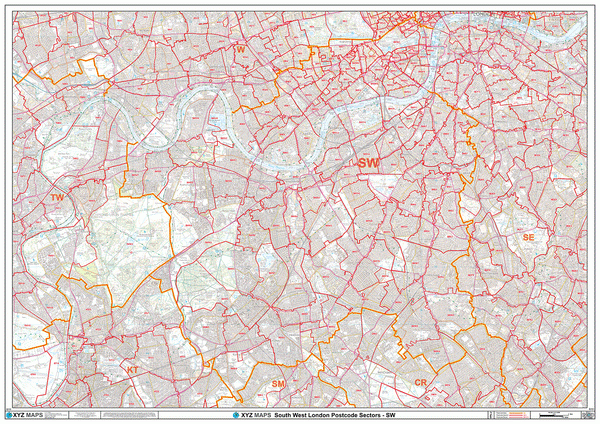
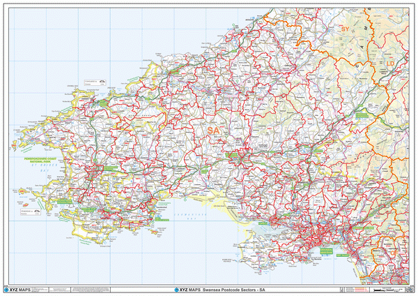
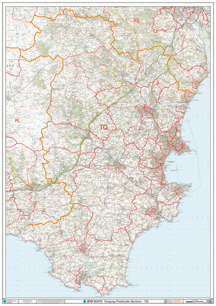
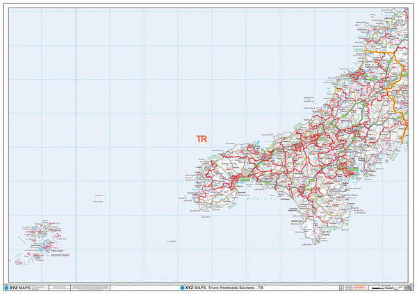
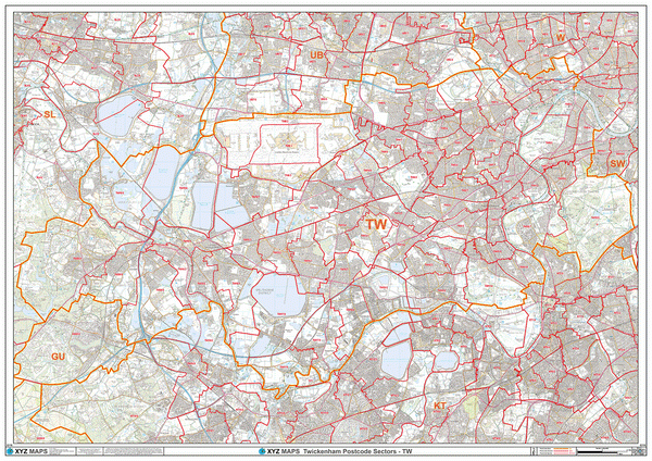
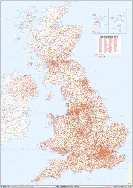
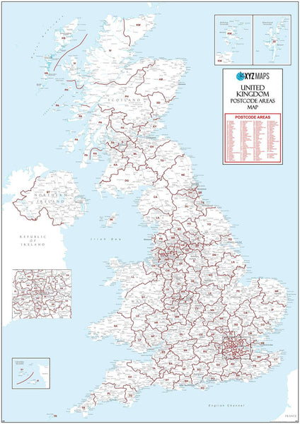
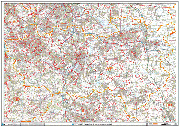
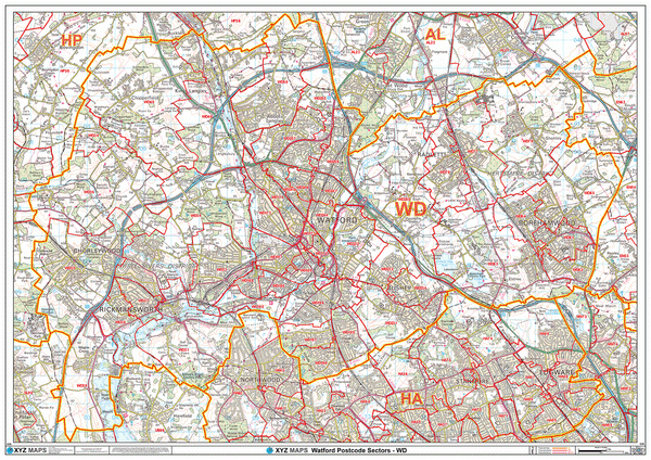
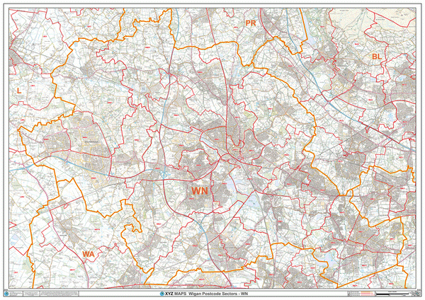
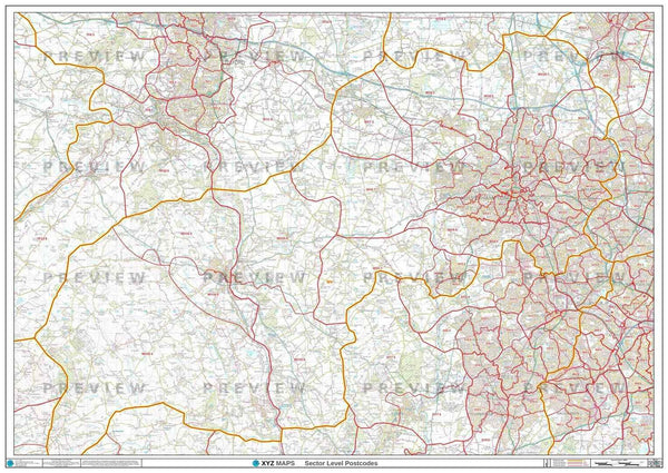
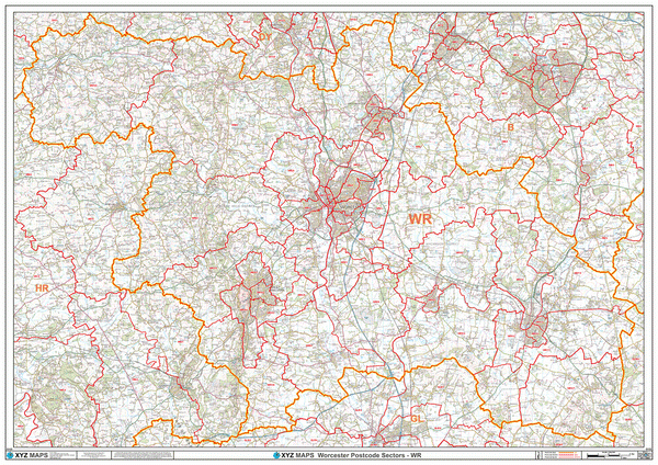
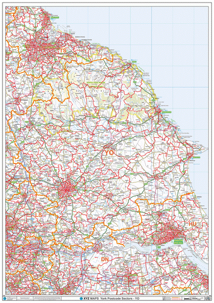
The Bromley Postcode map is a large, laminated Postcode wall map covering the entire BR Postcode Area. The map shows red Postcode Sector boundaries such as BR1 1 or BR3 1 over a full colour, official Ordnance Survey map - an essential guide to Postcodes for the Bromley Postcode Area.
And with plastic coating as standard, writing on the map with dry wipe markers is easy. Draw your Bromley franchise boundaries, sales territories or key customer locations on the map and, if they change or you make a mistake, simply wipe off and draw them again!

|
14 Day Money Back Guarantee.
Return your map for a full refund if not satisfied |
 |
Orders are usually delivered within 2 working days!
Next day delivery available. |
VERSATILE
Perfect for Bromley franchise areas, sales territories, logistics, distribution & marketing across the BR Postcode Area!
Simply use dry-wipe markers to plot your business areas or locations on the map - if they change, simply wipe clean and start again.
ACCURATE
Created from the latest official Postcode information and full colour Ordnance Survey maps, you can be sure that this maps is the most accurate and up-to-date map of Bromley Postcodes available.
DURABLE
This Postcode Map is sealed between two flexible sheets of clear plastic for extra protection and durability. Crease-proof and tear-proof, you may never need another map!
CREATE YOUR OWN BROMLEY POSTCODE MAP
If the above map isn't quite right, you can have a custom made map specifically to your requirements.
You can either use our online custom map system to create your own BR Postcode map or contact us with your requirements and we will be happy to create a map for you to review with no obligation.