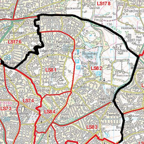
Franchise Territory Mapping With Postcode Maps
Postcodes are the most frequently used method for creating franchise territory maps across the UK. and therefore large Postcode wall maps have become an indispensable tool for visualising franchise territory coverage and planning local sales and marketing activity.
Quality Franchise Postcode Maps

Map Logic Postcode maps are perfect franchise territory planning aids and provide the essential features required by successful franchise organisations:
- Large A0 (119cm x 84cm) wall maps for easy viewing across the office.
- Accurate Postcode boundaries from the latest official Royal Mail Postcode information.
- Clear mapping from Ordnance Survey - the National Mapping Agency of Great Britain.
- Long lasting and durable encapsulation (plastic coating) to maximise the life of your map.
- No-quibble 14 day money back guarantee if you are not completely satisfied with your purchase.
You can see which of our ready-made maps cover your franchise area by entering your town in the box below and clicking Go:
Customise Your Franchise Territory Map

Because all franchise businesses are different, we also offer a highly flexible customised map service to create the perfect map for your franchise. Used by banks, charities, automotive dealerships, gyms and even weight loss franchises, these maps offer:
- Various sizes from A4 to 2A0 (168cm x 119cm)
- Customisation to cover your specific geographic area and the Postcodes covered by your franchise.
- The ability to add your franchise territory border to the map
- Full personalisation with your franchise name as the map title!
You can have a look at our custom map options online! Simply enter your town name in one of the search boxes below to get started:
Too Many Options?
Not sure which option is right for you? Just let us know what you need and we will come back with the best options for you to consider.
