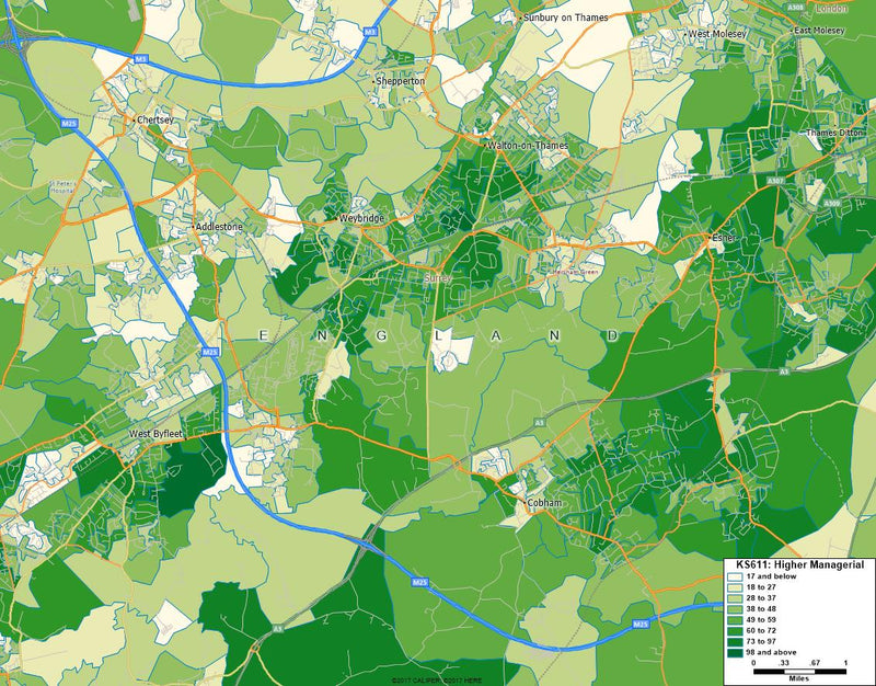
Output Areas
Digital Output Area boundaries for Output Areas in England and Wales as at 31 December 2011.
The boundaries are the perfect choice if you need to display or analyse Output Area related information in your own Geographic Information System (GIS), mapping software or in an online web application using Google Maps, CartoDB, OpenStreetMaps or any of the other emerging online mapping technologies.
Perfect boundaries for the analysis and thematic mapping of related data including the 2011 census counts included with these boundaries.
Census Data
The Output Area boundaries are supplied with a csv data file containing 183 individual census variables across 16 themes including:
- Age Structure
- Car or van availability
- Communal establishment residents
- Dwellings, household spaces and accommodation type
- Economic activity
- Ethnic group
- Health and provision of unpaid care
- Household composition
- Industry
- Lone parent households with dependent children
- Marital and civil partnership status
- NS-SeC
- Occupation
- Qualifications and students
- Tenure
- Usual resident population
Download a full field list here >
Software
These boundaries are compatible with most leading desktop GIS and mapping systems including:
- ESRI ArcView
- ESRI ArcInfo
- GRASS
- MapInfo
- Maptitude
- QGIS
But if in doubt, please contact us to confirm formats and compatibility.
Boundary Accuracy
The boundaries are generalised (20m) and clipped to the coastline (Mean High Water mark).
These boundaries contain both Ordnance Survey and ONS Intellectual Property Rights.
Copyright
You must use the following copyright statements when you reproduce or use this material:
- Source: Office for National Statistics licensed under the Open Government Licence v.3.0
- Contains OS data © Crown copyright and database right [year]
Formats & Projections
Our most popular formats are MapInfo Interchange format (MIF/ MID), ESRI SHAPE format and KML format (for Google Maps etc) but we can provide almost any other format upon request. As standard we supply the boundaries in Latitude Longitude projection although other projections are available upon request.
Data Licence
All boundary data is provided on an annual licence basis and your use of the Postcode Boundary Data is subject to our licence and terms and conditions which can be read here >


