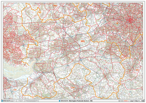
Warrington Postcode Maps (WA Postcode Area)
We have the widest range of Postcode wall maps available for Warrington and the WA Postcode Area.
Buy With Confidence
All our maps are printed in full colour and on high quality paper at a resolution of 300 dpi for maximum sharpness and clarity. Our maps also feature:
- Ordnance Survey official mapping.
- Royal Mail Postcode information.
- Plastic coating with a 10 year guarantee.
Create Your Own Warrington Postcode Map
Our standard pre-printed maps are shown below but you can also create your own customised Postcode map of Warrington using our online Map Maker system. Try it now with a custom Postcode map of Warrington WA Postcode Area >

