* The subscription fee for the Tonbridge Postcode List with Addresses permits use of the data on one PC only. Contact us if you need to use this data on more than one PC in your organisation.
To complement our Tonbridge Postcode Area map, we are pleased to also offer a range of Postcode and address lists in Excel format to help you with your Postcode planning in the TN Postcode Area.
These lists can be used to:
- Check and validate Postcodes
- Cross reference Postcodes to local authorities and other geographies
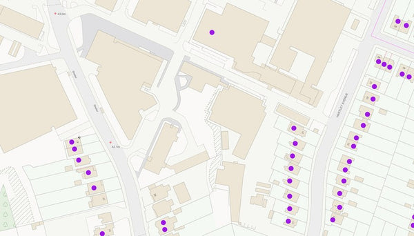
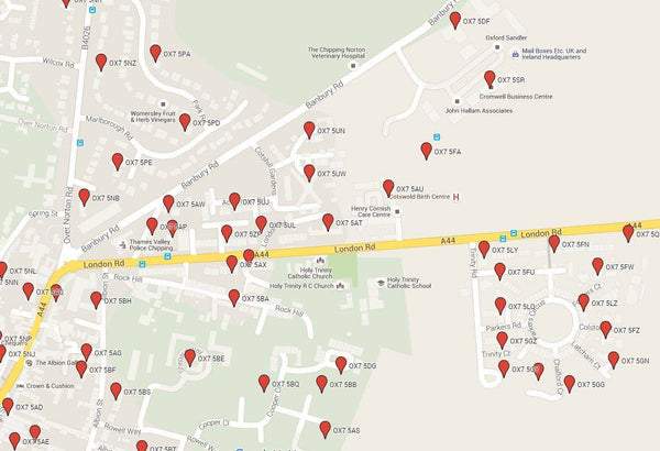
- Locate Postcodes in GIS and mapping software
- Clean customer addresses to ensure accurate and successful mailings
There are three files available for immediate download:
Free Tonbridge Postcode List


A free list of all currently valid Postcodes in operation in the Tonbridge (TN) Postcode Area. Just add this option to your basket, check out without paying for anything and download the current list of Tonbridge Postcodes currently in use by Royal Mail.
Not only that, but when we update this list every 3 months you will receive a notification to download the updated version completely free of charge!
Use For: Validating Postcodes and as a Postcode lookup list.
Tonbridge Postcode List With Locations for £19.99
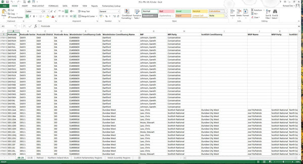
This list contains a wealth of information about the Postcodes in Tonbridge. Not only does it contain all the Postcodes currently in use by Royal Mail but it contains every Postcode that ever existed including when the Postcode was retired by Royal Mail.
Use For: Validating Postcodes, plotting Postcodes in mapping systems and cross-referencing Postcodes to other geographies.
The file also provides the following information for each Postcode (where the information is available*):
- Postcode Sector
- Postcode District
- Postcode Area
- Built Up Area Sub Division
- Built Up Area
- Ward
- Parish
- Local Authority District
- Traditional County Name
- Region
- British National Grid Easting
- British National Grid Northing
- Latitude
- Longitude
- Date Postcode was introduced
- Date Postcode was retired/ terminated
* Fields can be blank in the data for a variety of reasons. The Postcode may be new and not have been cross-referenced to other geographies, agencies may not have supplied the information yet or the field my just not be relevant for that Postcode (not all areas are Parished for example).
This file is also updated every 3 months and updates are included in the annual subscription fee.
Tonbridge Postcode List With Addresses for £70
A spread sheet of every postal address in the Tonbridge (TN) Postcode Area. The information is sourced directly from Royal Mail and updated every 3 months to ensure it is up to date and accurate.
Use For: Validating and cleaning address records and as a simple address lookup list.
The spreadsheet contains the following address fields:
- UDPRN
- Organisation Name
- Department Name
- PO Box
- Building Name
- Sub-Building Name
- Building Number
- Thoroughfare
- Street
- Double Dependent Locality
- Dependent Locality
- Post Town
- Postcode
- Postcode Type
- DPS
- SU Organisation Flag
This file is also updated every 3 months and updates are included in the annual subscription fee.