Please allow 5 working days for delivery
Description
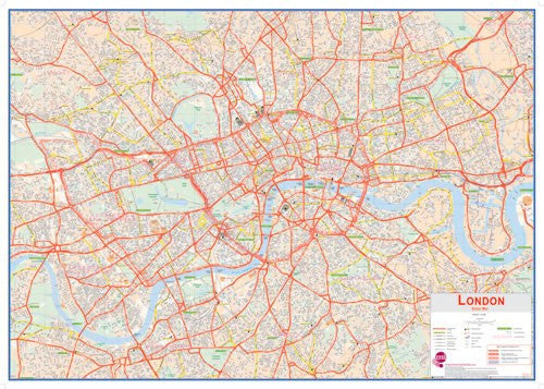
A huge enhanced map of Central London showing street level detail covering the area from Fulham in the West to Greenwich in the East; Islington in the North to Clapham in the South. The map also provides details of London Boroughs and Postcode Areas as well as points of interest in Central London.
The map shows London Underground stations and the Congestion Charge zone is clearly marked. The perfect map for planning out routes and journeys across London and as a general reference tool for businesses located on the capital.
Map Specification
Size: 168cm (w) x 119cm (h)
Scale: 1:10,500


