London Maps
The Greater London area covers over 600 square miles and encompasses 22 Postcode Areas, 33 London Boroughs and a population of over 8.4 million people. As such, there are a wide range of maps available designed to fulfil all requirements from single maps covering the entire area to local street maps for individual Boroughs. The options below will help you find the London map you require.
London Postcode Maps
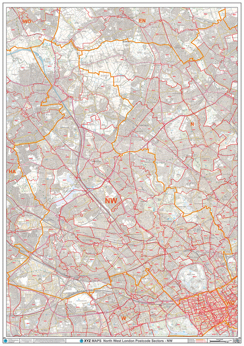
A wide range of maps showing Postcode boundaries for London including Greater London Postcode maps, Central London Postcode maps and individual Postcode maps with street level detail for individual London Boroughs. Click here to see all our London Postcode Map options >
London Postcode Maps By Borough
A professional range of individual and customisable Postcode maps for each of the 33 London Boroughs. Click here to see all London Borough Postcode map options >
London Street Maps
A wide range of maps showing streets for London including Central London street maps and individual street maps for individual London Boroughs. Click here to see all our London street map options >
London Borough Street Maps
A professional range of individual and customisable street maps with borough boundaries for each of the 33 London Boroughs. Click here to see all London Borough street map options >

